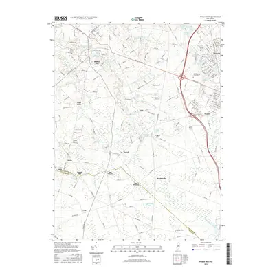
2016 Map of Pitman West
USGS Topo · Published 2016About this map
Mullica Hill stands at the crossing of Bridgeton Pike and Swedesboro Rd, serving as a primary hub in this corner of Southern New Jersey. The landscape is defined by the winding course of Raccoon Creek, which feeds into numerous local impoundments such as Mullica Hill Pond and Kincaid Lake. To the east, the borough of Pitman shows a dense suburban grid, while the surrounding territory remains punctuated by long-standing crossroads like Ewan, Ferrell, and Hardingville.
Find a feature on this map
54 named features on this map. Tap any name to fly to it.
Don’t see what you’re looking for? This feature index may not catch every label — zoom into the map to look around manually.
Map Details
Editions of this 2016 Pitman West Map
This is the sole edition of this map. No revisions or reprints were ever made.
Other maps of this area

1890 · Salem
USGS Topo · 1:62,500

1890 · Glassboro
USGS Topo · 1:62,500

1891 · Philadelphia
USGS Topo · 1:62,500

1894 · Chester
USGS Topo · 1:62,500

1894 · Philadelphia
USGS Topo · 1:62,500

1896 · Philadelphia
USGS Topo · 1:62,500

1896 · Chester
USGS Topo · 1:62,500

1898 · Salem
USGS Topo · 1:62,500

1898 · Glassboro
USGS Topo · 1:62,500

1898 · Chester
USGS Topo · 1:62,500