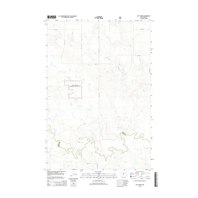
2014 Map of Pitt Creek
USGS Topo · Published 2014About this map
Cedar River National Grassland dominates the central landscape of this North Dakota quadrangle, where the rolling plains meet an intricate drainage system. The map delineates the boundary between Grant and Sioux counties, a line that weaves across the southern reaches near the winding course of Cedar Creek. This era of the landscape is defined by its wide-open character and a sparse, grid-based road network, including 90th St SW and 58th Ave SW. Waterways like Pitt Creek, Crooked Creek, and Whitmore Creek carve through the terrain, suggesting a pastoral economy reliant on these seasonal draws. The southern border of the sheet captures the rugged confluence of several tributaries, including Timber Creek and Hay Creek, providing a detailed look at the hydrology of the Porcupine District.
Find a feature on this map
19 named features on this map. Tap any name to fly to it.
Don’t see what you’re looking for? This feature index may not catch every label — zoom into the map to look around manually.
Map Details
Editions of this 2014 Pitt Creek Map
This is the sole edition of this map. No revisions or reprints were ever made.
Other maps of this area

1953 · McIntosh
USGS Topo · 1:250,000

1954 · Bismarck
USGS Topo · 1:250,000

1958 · Bismarck
USGS Topo · 1:250,000

1958 · McIntosh
USGS Topo · 1:250,000

1971 · Lookout Butte
USGS Topo · 1:24,000

1972 · Paradise Flats
USGS Topo · 1:24,000

1972 · Wheeler Hills
USGS Topo · 1:24,000

1972 · Morristown
USGS Topo · 1:24,000

1972 · Watauga
USGS Topo · 1:24,000

1972 · Hump Butte
USGS Topo · 1:24,000