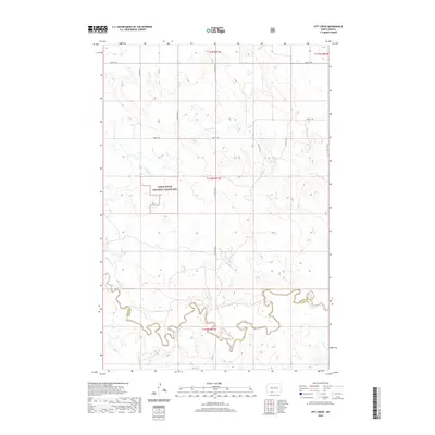
2020 Map of Pitt Creek
USGS Topo · Published 2020About this map
Cedar River National Grassland dominates the central portion of this prairie landscape, where the high plains of the Grant and Sioux county line meet. The terrain is defined by a complex drainage system that feeds into the winding course of Cedar Creek at the southern edge of the quadrangle. Several smaller tributaries, including Pitt Creek, Crooked Creek, and Whitmore Creek, carve distinct draws through the undulating grasslands. Human presence is sparse, represented primarily by the rectilinear grid of section lines and gravel roads like 90th St SW and 92nd St SW. This 2020 map documents a remote stretch of North Dakota where the natural topography of the Hay Creek and Timber Creek drainages remains the primary structural influence on the land.
Find a feature on this map
14 named features on this map. Tap any name to fly to it.
Don’t see what you’re looking for? This feature index may not catch every label — zoom into the map to look around manually.
Map Details
Editions of this 2020 Pitt Creek Map
This is the sole edition of this map. No revisions or reprints were ever made.
Other maps of this area

1953 · McIntosh
USGS Topo · 1:250,000

1954 · Bismarck
USGS Topo · 1:250,000

1958 · Bismarck
USGS Topo · 1:250,000

1958 · McIntosh
USGS Topo · 1:250,000

1971 · Lookout Butte
USGS Topo · 1:24,000

1972 · Paradise Flats
USGS Topo · 1:24,000

1972 · Wheeler Hills
USGS Topo · 1:24,000

1972 · Morristown
USGS Topo · 1:24,000

1972 · Watauga
USGS Topo · 1:24,000

1972 · Hump Butte
USGS Topo · 1:24,000