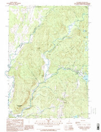
1989 Map of Pittsburg
USGS Topo · Published 1990About this map
Halls Stream and the Connecticut River define this international borderland, where the northernmost reaches of New Hampshire meet Quebec and Vermont. This late-twentieth-century landscape is dominated by the sprawling waters of Lake Francis, held by an earth dam, and the smaller Moose Pond and Back Lake Brook systems. The settlement pattern remains concentrated near the river junctions, with Pittsburg serving as a central hub just north of the concrete dam.
Find a feature on this map
39 named features on this map. Tap any name to fly to it.
Don’t see what you’re looking for? This feature index may not catch every label — zoom into the map to look around manually.
Map Details
Editions of this 1989 Pittsburg Map
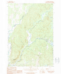
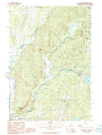
3 editions found
Other maps of this area

1925 · Indian Stream
USGS Topo · 1:48,000

1926 · Indian Stream
USGS Topo · 1:62,500

1927 · Indian Stream
USGS Topo · 1:62,500

1929 · Averill
USGS Topo · 1:62,500

1930 · Dixville
USGS Topo · 1:62,500

1933 · Dixville
USGS Topo · 1:62,500

1934 · Dixville
USGS Topo · 1:62,500

1949 · Jackman
USGS Topo · 1:250,000

1950 · Lewiston
USGS Topo · 1:250,000

1953 · Averill
USGS Topo · 1:62,500