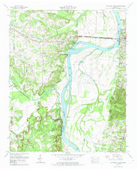
1972 Map of Pittsburg Landing
USGS Topo · Published 1974About this map
Shiloh National Military Park dominates the southern landscape of this survey, preserving the grounds of the 1862 Civil War battle where the Tennessee River turns north. The river itself, now part of Kentucky Lake, serves as the primary geographic axis, separating the bottomlands of Coffee Bottom from the upland settlements of Adamsville and Crump. Local infrastructure is anchored by the Crockett Highway and the Lemert Bridge, which provide vital crossings over the river toward Savannah. Genealogy and local history are well-represented by several family and community landmarks, including the McDaniel Cem, Perkins Ch, and the riverside site of Pittsburg Landing. The map captures a moment in the early 1970s where agricultural activity near Beason Creek and Snake Creek coexists with federal preservation and industrial utility sites like the Filtration plant near River Heights.
Find a feature on this map
66 named features on this map. Tap any name to fly to it.
Don’t see what you’re looking for? This feature index may not catch every label — zoom into the map to look around manually.
Map Details
Editions of this 1972 Pittsburg Landing Map
2 editions found
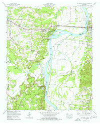
Other maps of this area

1936 · Savannah
USGS Topo · 1:24,000

1936 · Hookers Bend
USGS Topo · 1:24,000

1936 · Counce
USGS Topo · 1:24,000

1936 · Leapwood
USGS Topo · 1:24,000

1936 · Milledgeville
USGS Topo · 1:24,000

1936 · Pickwick
USGS Topo · 1:24,000

1936 · Pittsburg Landing
USGS Topo · 1:24,000

1936 · Stantonville
USGS Topo · 1:24,000

1936 · Michie
USGS Topo · 1:24,000

1949 · Hookers Bend
USGS Topo · 1:24,000