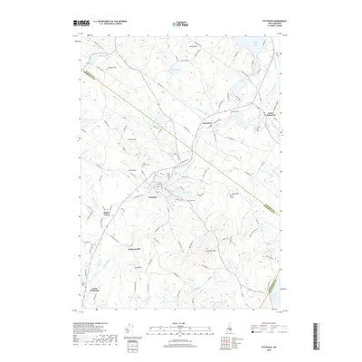
2018 Map of Pittsfield
USGS Topo · Published 2018About this map
The Suncook River winds through the heart of this Merrimack County landscape, providing the historical foundation for settlements like Pittsfield and Barnstead. The 2018 geography highlights a region defined by its diverse water bodies, from the prominent Lower Suncook Lake in the north to the smaller Whites Pond and Lily Lake tucked between wooded hills. The map is a significant resource for genealogists, as it documents several burial grounds including Floral Park Cem, Mount Calvary Cem, and Riverview Cem, many of which are situated near established village centers. Elevated terrain such as Catamount Mtn and Beauty Hill dictates the layout of local roads, while smaller hamlets like North Chichester and Kelleys Corner anchor the southern reaches. The persistence of names like Websters Mill and Nudds Hill speaks to the enduring local identity of these New Hampshire townships.
Find a feature on this map
115 named features on this map. Tap any name to fly to it.
Don’t see what you’re looking for? This feature index may not catch every label — zoom into the map to look around manually.
Map Details
Editions of this 2018 Pittsfield Map
This is the sole edition of this map. No revisions or reprints were ever made.
Other maps of this area

1917 · Mt. Pawtuckaway
USGS Topo · 1:62,500

1919 · Mt. Pawtuckaway
USGS Topo · 1:62,500

1919 · Gilmanton
USGS Topo · 1:62,500

1919 · Alton
USGS Topo · 1:62,500

1921 · Suncook
USGS Topo · 1:62,500

1927 · Gilmanton
USGS Topo · 1:62,500

1939 · Mt. Pawtuckaway
USGS Topo · 1:62,500

1944 · Mt. Pawtuckaway
USGS Topo · 1:62,500

1944 · Suncook
USGS Topo · 1:62,500

1949 · Portland
USGS Topo · 1:250,000