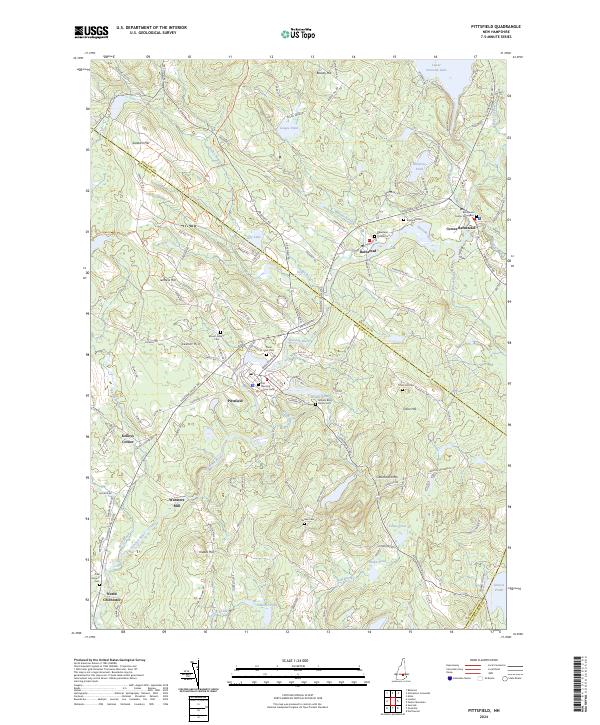
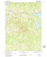
2024 Map of Pittsfield
USGS Topo · Published 2024About this map
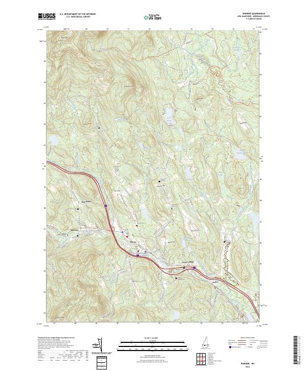
The Suncook River winds through this New Hampshire landscape, linking the centers of Pittsfield and Barnstead in a region defined by its narrow valleys and persistent agricultural roots. The map reveals a dense network of early settlements and family-named landmarks, such as Websters Mill and Kelleys Corner, that speak to the industrial and social organization of the Merrimack County interior. A concentration of burial sites, including the Old Meeting House Cem and the William Berry Family Cem, offers significant detail for genealogists tracing local lineages.
Find a feature on this map
119 named features on this map. Tap any name to fly to it.
Don’t see what you’re looking for? This feature index may not catch every label — zoom into the map to look around manually.
Map Details
Editions of this 2024 Pittsfield Map
This is the sole edition of this map. No revisions or reprints were ever made.
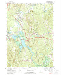
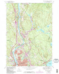
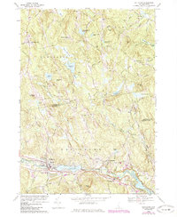
Historical Maps of Kelleys Corner Through Time
47 maps found

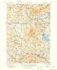
1927 Penacook
Merrimack County, NH
1928 Mount Kearsarge
Merrimack County, NH

1931 Mount Kearsarge
Merrimack County, NH
1956 Mt. Kearsarge
Merrimack County, NH
1956 Penacook
Merrimack County, NH
1967 Gossville
Merrimack County, NH
1967 Hopkinton
Merrimack County, NH
1968 Manchester North
Merrimack County, NH
1969 Goffstown
Merrimack County, NH

1977 Manchester North
Merrimack County, NH

1987 Andover
Merrimack County, NH

1987 Bradford
Merrimack County, NH

1987 Danbury
Merrimack County, NH

1987 Henniker
Merrimack County, NH
1987 Loudon
Merrimack County, NH

1987 New London
Merrimack County, NH

1987 Northfield
Merrimack County, NH

1987 Penacook
Merrimack County, NH

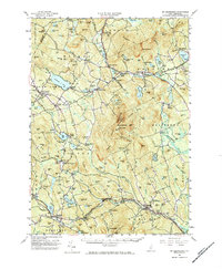
1987 Pittsfield
Merrimack County, NH

1987 Warner
Merrimack County, NH
1987 Webster
Merrimack County, NH

1995 Goffstown
Merrimack County, NH

1995 Gossville
Merrimack County, NH

1995 Henniker
Merrimack County, NH

1995 Hopkinton
Merrimack County, NH

1998 Andover
Merrimack County, NH

1998 Bradford
Merrimack County, NH

1998 New London
Merrimack County, NH

1998 Sunapee Lake South
Merrimack County, NH

1998 Warner
Merrimack County, NH

2000 Webster
Merrimack County, NH

2024 Andover
Merrimack County, NH
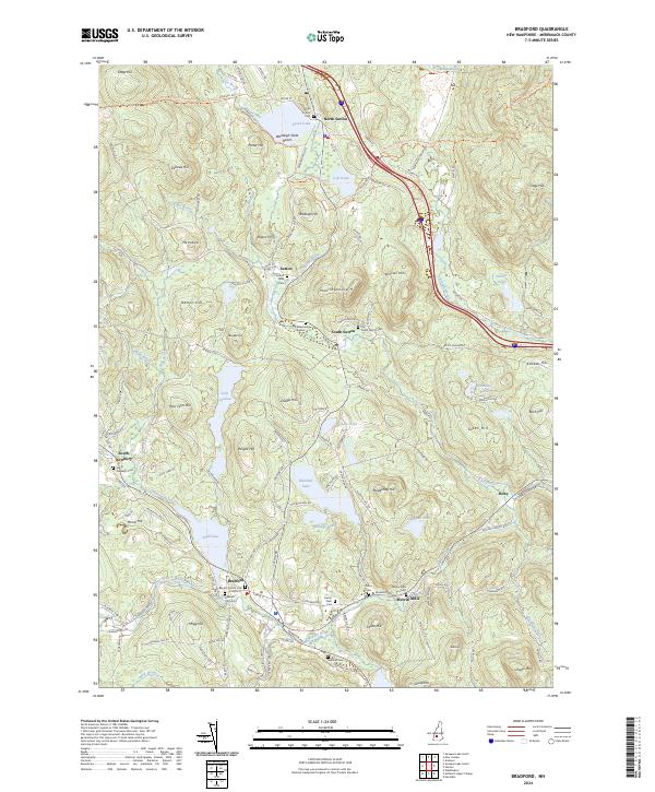
2024 Bradford
Merrimack County, NH

2024 Danbury
Merrimack County, NH
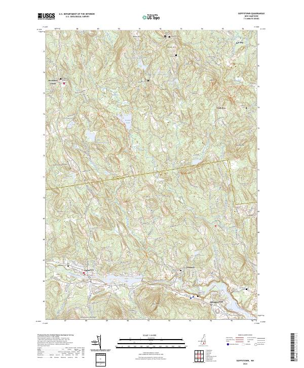
2024 Goffstown
Merrimack County, NH
2024 Gossville
Merrimack County, NH
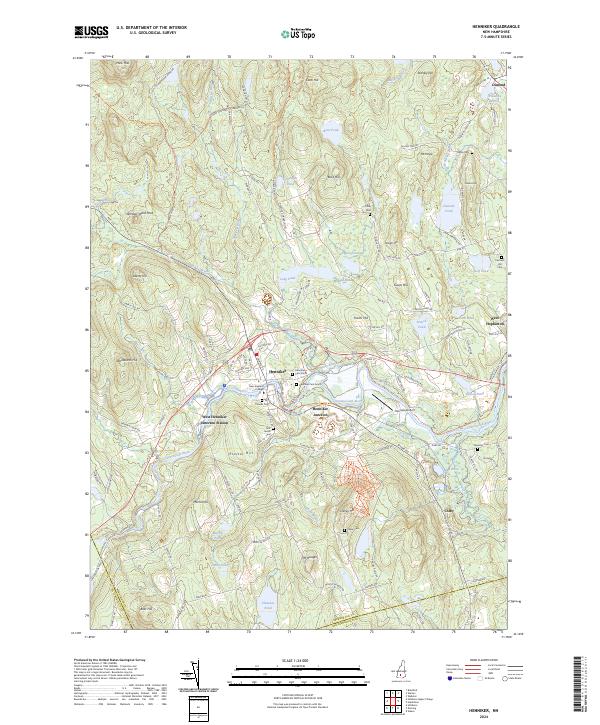
2024 Henniker
Merrimack County, NH
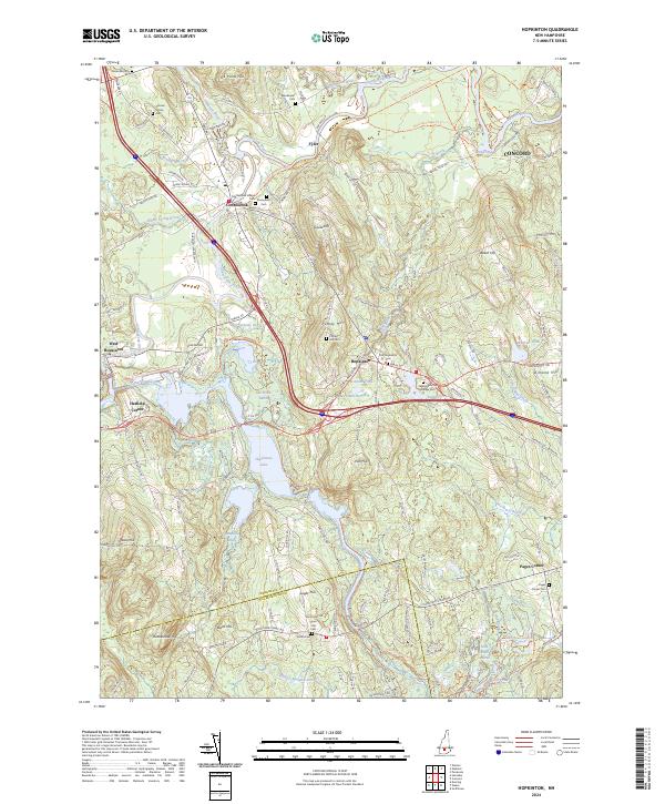
2024 Hopkinton
Merrimack County, NH

2024 Loudon
Merrimack County, NH

2024 Manchester North
Merrimack County, NH

2024 New London
Merrimack County, NH

2024 Northfield
Merrimack County, NH

2024 Penacook
Merrimack County, NH
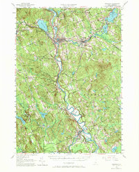
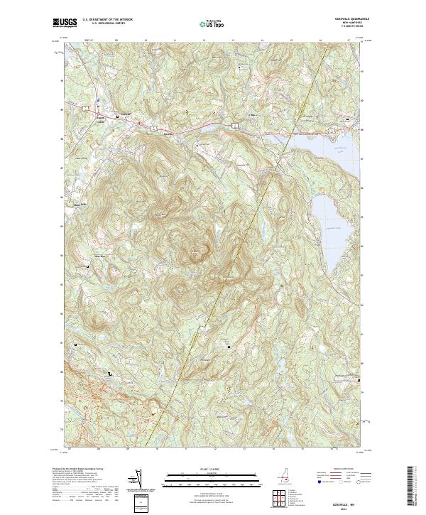
2024 Pittsfield
Merrimack County, NH
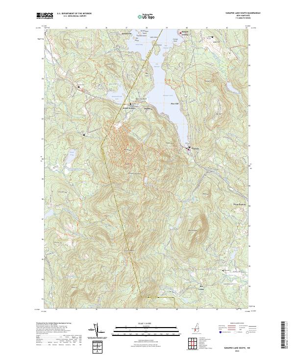
2024 Sunapee Lake South
Merrimack County, NH
2024 Warner
Merrimack County, NH

2024 Webster
Merrimack County, NH