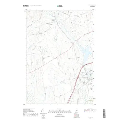
2021 Map of Pittsfield
USGS Topo · Published 2021About this map
Pittsfield serves as the focal point of this Somerset County landscape, where the Sebasticook River flows southward through Douglas Pond toward the town center. The area exhibits a classic New England layout of dispersed rural settlements like West Palmyra and Thompson, connected by a network of historic thoroughfares such as Canaan Rd and Higgins Rd. Genealogy researchers will find significant value in the detailed documentation of local burial grounds, including the Pine Grove Cem and its Pine Grove Cem Extension - Cool Division, alongside the West Pittsfield Cem and Warren Hill Cem.
Find a feature on this map
79 named features on this map. Tap any name to fly to it.
Don’t see what you’re looking for? This feature index may not catch every label — zoom into the map to look around manually.
Map Details
Editions of this 2021 Pittsfield Map
This is the sole edition of this map. No revisions or reprints were ever made.
Other maps of this area

1892 · Waterville
USGS Topo · 1:62,500

1913 · Skowhegan
USGS Topo · 1:62,500

1926 · Burnham
USGS Topo · 1:62,500

1930 · Pittsfield
USGS Topo · 1:48,000

1932 · Pittsfield
USGS Topo · 1:62,500

1933 · Pittsfield
USGS Topo · 1:62,500

1943 · Waterville
USGS Topo · 1:62,500

1948 · Bangor
USGS Topo · 1:250,000

1955 · Pittsfield
USGS Topo · 1:62,500

1955 · Skowhegan
USGS Topo · 1:62,500