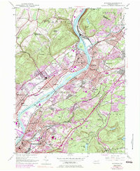
1947 Map of Pittston
USGS Topo · Published 1983About this map
The Susquehanna River and Lackawanna River converge at the heart of this post-war Pennsylvania industrial corridor, framing a dense network of coal-era settlements and rail infrastructure. Heavily developed valley floors around Pittston and West Pittston transition into the steep slopes of Peterson Mountain and Mt Lookout. The map documents a landscape defined by its heavy industry and civic institutions, ranging from the Wyoming Monument to the expansive Wilkes-Barre Wyoming Valley Airport. Significant 1970s urban growth, indicated in purple, extends into the hills near Hughestown and Yatesville, while specialized sites like the State Hospital and Fox Hill Country Club stand out against the wooded terrain of the Jenkins and Plains townships. Transportation is central to the area's identity, with numerous Conrail and Delaware and Hudson lines threading through small communities like Inkerman and Port Blanchard.
Find a feature on this map
93 named features on this map. Tap any name to fly to it.
Don’t see what you’re looking for? This feature index may not catch every label — zoom into the map to look around manually.
Map Details
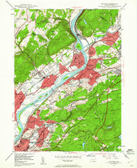
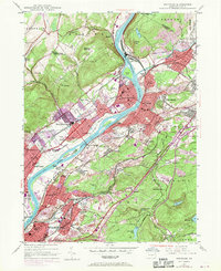
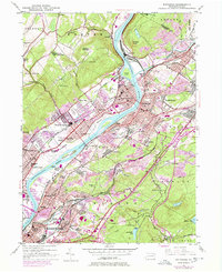
Editions of this 1947 Pittston Map
4 editions found
Other maps of this area

1889 · Scranton
USGS Topo · 1:62,500

1891 · Wilkesbarre
USGS Topo · 1:62,500

1891 · Scranton
USGS Topo · 1:62,500

1893 · Pittston
USGS Topo · 1:62,500

1893 · Scranton
USGS Topo · 1:62,500

1894 · Wilkesbarre
USGS Topo · 1:62,500

1922 · Stoddartsville
USGS Topo · 1:62,500

1924 · Stoddartsville
USGS Topo · 1:62,500

1943 · Scranton
USGS Topo · 1:125,000

1943 · Stoddartsville
USGS Topo · 1:62,500