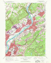
1947 Map of Pittston
USGS Topo · Published 1970About this map
The Susquehanna River and Lackawanna River converge at the heart of this industrial corridor, where the rail infrastructure of the Lehigh Valley and Central RR of New Jersey supported a dense network of coal-country settlements. The map illustrates the intense urbanization between Pittston, West Pittston, and Wyoming, marked by landmarks like the Wyoming Monument and the extensive Coxton Yards rail complex.
Find a feature on this map
98 named features on this map. Tap any name to fly to it.
Don’t see what you’re looking for? This feature index may not catch every label — zoom into the map to look around manually.
Map Details
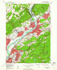
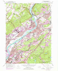
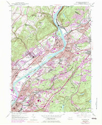
Editions of this 1947 Pittston Map
4 editions found
Other maps of this area

1889 · Scranton
USGS Topo · 1:62,500

1891 · Wilkesbarre
USGS Topo · 1:62,500

1891 · Scranton
USGS Topo · 1:62,500

1893 · Pittston
USGS Topo · 1:62,500

1893 · Scranton
USGS Topo · 1:62,500

1894 · Wilkesbarre
USGS Topo · 1:62,500

1922 · Stoddartsville
USGS Topo · 1:62,500

1924 · Stoddartsville
USGS Topo · 1:62,500

1943 · Scranton
USGS Topo · 1:125,000

1943 · Stoddartsville
USGS Topo · 1:62,500