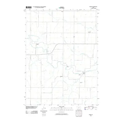
2010 Map of Pitzer
USGS Topo · Published 2010About this map
The Roseman Covered Bridge spans the Middle River in this rural landscape of Madison County, serving as a prominent landmark in an area defined by small settlements and family burial grounds. The mapping of Pitzer, Webster, Harrison, and Maple Grove reveals the distributed nature of early Iowa township life, where community centers were tied to the intersection of township roads and local waterways.
Find a feature on this map
44 named features on this map. Tap any name to fly to it.
Don’t see what you’re looking for? This feature index may not catch every label — zoom into the map to look around manually.
Map Details
Editions of this 2010 Pitzer Map
This is the sole edition of this map. No revisions or reprints were ever made.
Other maps of this area
1951 · Afton
USGS Topo · 1:62,500
1952 · Winterset
USGS Topo · 1:62,500
1954 · Greenfield
USGS Topo · 1:62,500

1954 · Omaha
USGS Topo · 1:250,000
1957 · Omaha
USGS Topo · 1:250,000
1958 · Omaha
USGS Topo · 1:250,000
1981 · Zion
USGS Topo · 1:24,000
1983 · Earlham West
USGS Topo · 1:24,000
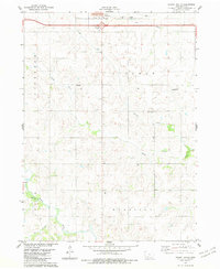
1983 · Stuart South
USGS Topo · 1:24,000
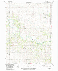
1983 · Pitzer
USGS Topo · 1:24,000