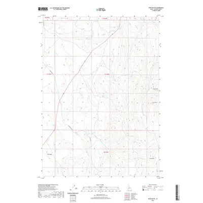
2020 Map of Piute Butte
USGS Topo · Published 2020About this map
Piute Butte rises as a prominent landmark in this high-desert reach of Owyhee County, defining a landscape shaped by intermittent drainages and isolated water sources. The 2020 survey illustrates a region where life and travel center on critical hydrology, from the Canter Spring Reservoir to numerous named seeps like Johnstone Spring, Wild Horse Spring, and Blackstock Spring. These water points support the ranching operations that utilize the surrounding basins and peaks, including Dryden Peak and Squaw Butte. A network of unpaved corridors such as Sands Basin Rd and McBride Creek Rd navigate the complex terrain, following the natural paths carved by McBride Cr and the Willow Fork. The map provides a contemporary view of this rangeland, tracing the essential connection between reliable springs and the rugged geography of southwestern Idaho.
Find a feature on this map
27 named features on this map. Tap any name to fly to it.
Don’t see what you’re looking for? This feature index may not catch every label — zoom into the map to look around manually.
Map Details
Editions of this 2020 Piute Butte Map
This is the sole edition of this map. No revisions or reprints were ever made.
Other maps of this area

1892 · Silver City
USGS Topo · 1:125,000

1894 · Silver City
USGS Topo · 1:125,000

1898 · Silver City
USGS Topo · 1:125,000

1955 · Boise
USGS Topo · 1:250,000

1957 · Opalene Gulch
USGS Topo · 1:24,000

1957 · Sands Basin
USGS Topo · 1:62,500

1958 · Boise
USGS Topo · 1:250,000

1962 · Boise
USGS Topo · 1:250,000

1965 · Rooster Comb Peak
USGS Topo · 1:62,500

1967 · Rockville
USGS Topo · 1:24,000