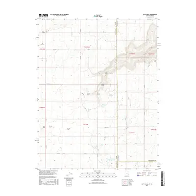
2017 Map of Piute Knoll
USGS Topo · Published 2017About this map
The high plateau of Piute Knoll and the surrounding borderlands of Utah and Colorado are defined by a complex drainage system of dry washes and deep canyons. Water sources are scarce but critical in this arid environment, marked by isolated points like Secret Springs, Rustler Spring, and Ingram Spring. The landscape is a network of named canyons including Wildhorse Canyon, Summit Canyon, and Coal Bed Canyon, which cut through the high desert floor.
Find a feature on this map
51 named features on this map. Tap any name to fly to it.
Don’t see what you’re looking for? This feature index may not catch every label — zoom into the map to look around manually.
Map Details
Editions of this 2017 Piute Knoll Map
This is the sole edition of this map. No revisions or reprints were ever made.
Other maps of this area

1885 · La Sal
USGS Topo · 1:250,000

1886 · Abajo
USGS Topo · 1:250,000

1892 · Abajo
USGS Topo · 1:250,000

1893 · Abajo
USGS Topo · 1:250,000

1916 · Paradox Valley
USGS Topo · 1:125,000

1922 · Paradox Valley
USGS Topo · 1:125,000

1948 · Horse Range Mesa
USGS Topo · 1:24,000

1949 · Egnar
USGS Topo · 1:24,000

1950 · Horse Range Mesa
USGS Topo · 1:24,000

1950 · Egnar
USGS Topo · 1:24,000