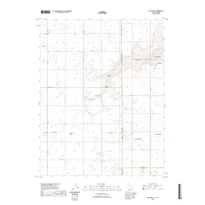
2020 Map of Piute Knoll
USGS Topo · Published 2020About this map
Piute Knoll and the surrounding high desert terrain define this landscape at the intersection of San Juan County, Utah, and San Miguel and Dolores Counties, Colorado. The area is characterized by a complex drainage system including Pearson Wash, Coal Bed Canyon, and the headwaters of Piute Cr. This 2020 survey reveals a geography shaped by critical water sources in a dry environment, where named points like Summit Spring, Secret Springs, and Rustler Spring likely served as vital landmarks for early ranchers and travelers.
Find a feature on this map
45 named features on this map. Tap any name to fly to it.
Don’t see what you’re looking for? This feature index may not catch every label — zoom into the map to look around manually.
Map Details
Editions of this 2020 Piute Knoll Map
This is the sole edition of this map. No revisions or reprints were ever made.
Other maps of this area

1885 · La Sal
USGS Topo · 1:250,000

1886 · Abajo
USGS Topo · 1:250,000

1892 · Abajo
USGS Topo · 1:250,000

1893 · Abajo
USGS Topo · 1:250,000

1916 · Paradox Valley
USGS Topo · 1:125,000

1922 · Paradox Valley
USGS Topo · 1:125,000

1948 · Horse Range Mesa
USGS Topo · 1:24,000

1949 · Egnar
USGS Topo · 1:24,000

1950 · Horse Range Mesa
USGS Topo · 1:24,000

1950 · Egnar
USGS Topo · 1:24,000