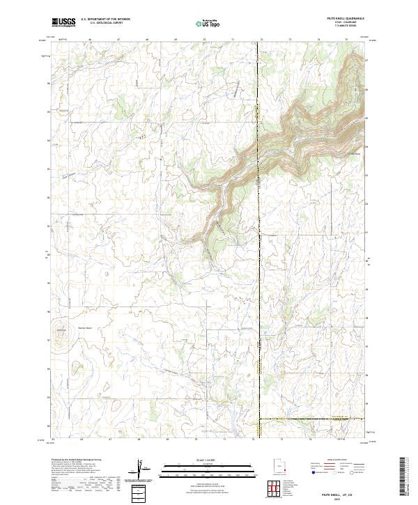
2023 Map of Piute Knoll
USGS Topo · Published 2023About this map
Piute Knoll and Hickman Flat characterize this high-desert landscape situated along the border of Utah and Colorado. The map documents a complex network of seasonal drainages and springs, essential for any understanding of land use in this arid region. Numerous water sources are identified, including Secret Springs, Summit Spring, and Ingram Spring, which likely supported early ranching efforts. Significant topographic features like Wildhorse Canyon and Summit Canyon cut through the terrain, while Pearson Wash provides a broad drainage path to the west. The area is intersected by a grid of county roads such as W Summit Rd and Co Rd 370, illustrating the modern management of this remote borderland. The presence of Snyder Reservoir Number Two in the southern portion suggests managed water resources for livestock or local agriculture.
Find a feature on this map
45 named features on this map. Tap any name to fly to it.
Don’t see what you’re looking for? This feature index may not catch every label — zoom into the map to look around manually.
Map Details
Editions of this 2023 Piute Knoll Map
This is the sole edition of this map. No revisions or reprints were ever made.
Other maps of this area

1885 · La Sal
USGS Topo · 1:250,000

1886 · Abajo
USGS Topo · 1:250,000

1892 · Abajo
USGS Topo · 1:250,000

1893 · Abajo
USGS Topo · 1:250,000

1916 · Paradox Valley
USGS Topo · 1:125,000

1922 · Paradox Valley
USGS Topo · 1:125,000

1948 · Horse Range Mesa
USGS Topo · 1:24,000

1949 · Egnar
USGS Topo · 1:24,000

1950 · Horse Range Mesa
USGS Topo · 1:24,000

1950 · Egnar
USGS Topo · 1:24,000