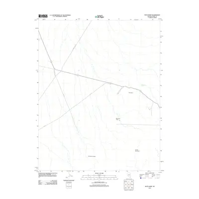
2012 Map of Piute Point
USGS Topo · Published 2012About this map
The Old Spanish Trail Rd cuts across this desert landscape in Clark County, following a historic corridor that long predates modern infrastructure. The map highlights the intersection of ancient travel routes with contemporary state management, notably where Valley of Fire State Park meets the surrounding terrain. Geologically, the area is defined by the Muddy Mountains and the distinct formation of Piute Point, while local depressions and basins are noted as Monocline Valley and Buffington Pockets. Small-scale water management is visible at Buffington Reservoir, providing a rare point of hydration in a land otherwise dominated by dry washes and the paths of Rte-169 and Rte-167.
Find a feature on this map
9 named features on this map. Tap any name to fly to it.
Don’t see what you’re looking for? This feature index may not catch every label — zoom into the map to look around manually.
Map Details
Editions of this 2012 Piute Point Map
This is the sole edition of this map. No revisions or reprints were ever made.
Other maps of this area

1886 · Saint Thomas
USGS Topo · 1:250,000

1893 · Saint Thomas
USGS Topo · 1:250,000

1926 · Boulder Canyon
USGS Topo · 1:96,000

1952 · Dry Lake
USGS Topo · 1:62,500

1953 · Muddy Peak
USGS Topo · 1:62,500

1954 · Las Vegas
USGS Topo · 1:250,000

1957 · Las Vegas
USGS Topo · 1:250,000

1958 · Arrow Canyon
USGS Topo · 1:62,500

1958 · Moapa
USGS Topo · 1:62,500

1959 · Las Vegas
USGS Topo · 1:250,000