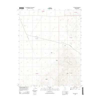
2014 Map of Piute Point
USGS Topo · Published 2014About this map
Piute Point stands as a prominent landmark within this arid landscape of Clark County, marking the transition between the wide reaches of the Mojave Desert and the uplifted terrain of the Muddy Mountains. The 2014 survey reveals a sparse network of infrastructure primarily serving transportation and water management, including the Valley of Fire Rd and the Backcountry By-Way which provide access through the complex topography.
Find a feature on this map
15 named features on this map. Tap any name to fly to it.
Don’t see what you’re looking for? This feature index may not catch every label — zoom into the map to look around manually.
Map Details
Editions of this 2014 Piute Point Map
This is the sole edition of this map. No revisions or reprints were ever made.
Other maps of this area

1886 · Saint Thomas
USGS Topo · 1:250,000

1893 · Saint Thomas
USGS Topo · 1:250,000

1926 · Boulder Canyon
USGS Topo · 1:96,000

1952 · Dry Lake
USGS Topo · 1:62,500

1953 · Muddy Peak
USGS Topo · 1:62,500

1954 · Las Vegas
USGS Topo · 1:250,000

1957 · Las Vegas
USGS Topo · 1:250,000

1958 · Arrow Canyon
USGS Topo · 1:62,500

1958 · Moapa
USGS Topo · 1:62,500

1959 · Las Vegas
USGS Topo · 1:250,000