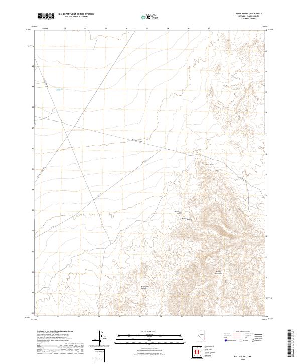
2021 Map of Piute Point
USGS Topo · Published 2021About this map
Piute Point stands as a prominent overlook in this northeastern reach of the Mojave Desert, where the landscape transitions into the steep, complex folds of the Muddy Mountains. This modern topographic survey highlights a desert environment shaped by seasonal water movement and rugged geological features, including the Buffington Pockets and the expansive Monocline Valley. The lack of permanent settlements emphasizes the region's character as a throughway, defined by major transportation corridors that have historical and modern significance.
Find a feature on this map
16 named features on this map. Tap any name to fly to it.
Don’t see what you’re looking for? This feature index may not catch every label — zoom into the map to look around manually.
Map Details
Editions of this 2021 Piute Point Map
This is the sole edition of this map. No revisions or reprints were ever made.
Other maps of this area

1886 · Saint Thomas
USGS Topo · 1:250,000

1893 · Saint Thomas
USGS Topo · 1:250,000

1926 · Boulder Canyon
USGS Topo · 1:96,000

1952 · Dry Lake
USGS Topo · 1:62,500

1953 · Muddy Peak
USGS Topo · 1:62,500

1954 · Las Vegas
USGS Topo · 1:250,000

1957 · Las Vegas
USGS Topo · 1:250,000

1958 · Arrow Canyon
USGS Topo · 1:62,500

1958 · Moapa
USGS Topo · 1:62,500

1959 · Las Vegas
USGS Topo · 1:250,000