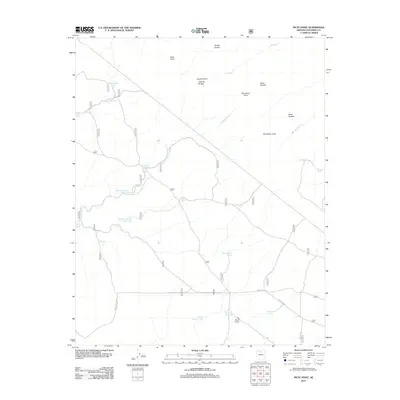
2012 Map of Piute Point
USGS Topo · Published 2012About this map
Piute Point and the high overlooks of Jicarilla Point and Mescalero Point define this high-altitude landscape in Coconino County. The region is characterized by a network of drainage washes, including Prairie Wash and Heather Wash, which flow toward the deep canyons of Slate Cr and Boucher Cr. Human presence is marked primarily by ranching infrastructure and forest management, with numerous named water tanks such as Ike Smith Tank, Sam Moore Tank, and Thurston Tank scattered across the terrain to support livestock.
Find a feature on this map
45 named features on this map. Tap any name to fly to it.
Don’t see what you’re looking for? This feature index may not catch every label — zoom into the map to look around manually.
Map Details
Editions of this 2012 Piute Point Map
This is the sole edition of this map. No revisions or reprints were ever made.
Other maps of this area

1886 · Chino
USGS Topo · 1:250,000

1886 · Kaibab
USGS Topo · 1:250,000

1891 · Chino
USGS Topo · 1:250,000

1903 · Bright Angel
USGS Topo · 1:48,000

1906 · Bright Angel
USGS Topo · 1:48,000

1948 · Williams
USGS Topo · 1:250,000

1953 · Grand Canyon
USGS Topo · 1:250,000

1954 · Williams
USGS Topo · 1:250,000

1956 · Williams
USGS Topo · 1:250,000

1957 · Grand Canyon
USGS Topo · 1:250,000