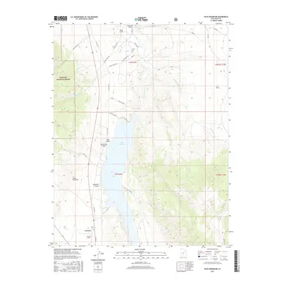
2017 Map of Piute Reservoir
USGS Topo · Published 2017About this map
Piute Reservoir dominates the central landscape of this section of the Sevier River valley, serving as a focal point for the region's water management and recreation. To the south, the settlement of Junction sits at the crossroads of Old US Hwy 89 and the road to Junction Airport, marking the transition from the irrigated basin floor to the rising peaks of the Tushar Mountains. The western edge of the map is defined by the high, protected terrain of the Fishlake National Forest, where steep canyons like Bellyache Canyon and Oak Springs Canyon drain toward the reservoir.
Find a feature on this map
37 named features on this map. Tap any name to fly to it.
Don’t see what you’re looking for? This feature index may not catch every label — zoom into the map to look around manually.
Map Details
Editions of this 2017 Piute Reservoir Map
This is the sole edition of this map. No revisions or reprints were ever made.
Other maps of this area

1885 · Beaver
USGS Topo · 1:250,000

1937 · Delano Peak
USGS Topo · 1:48,000

1943 · Delano Peak
USGS Topo · 1:62,500

1945 · Marysvale
USGS Topo · 1:62,500

1947 · Marysvale
USGS Topo · 1:62,500

1953 · Richfield
USGS Topo · 1:250,000

1958 · Richfield
USGS Topo · 1:250,000

1966 · Circleville
USGS Topo · 1:24,000
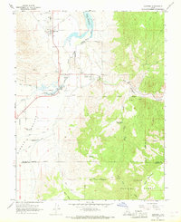
1966 · Junction
USGS Topo · 1:24,000
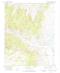
1971 · Phonolite Hill
USGS Topo · 1:24,000