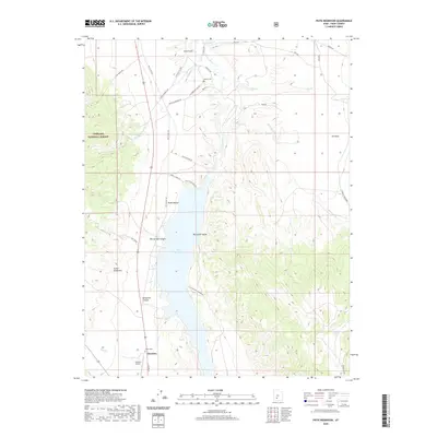
2020 Map of Piute Reservoir
USGS Topo · Published 2020About this map
The town of Junction sits at the southern edge of Marysvale Valley, where the confluence of local drainages meets the Piute Reservoir. This landscape is defined by the high-elevation transition from the Tushar Mountains in the west to the water-managed lowlands of the Sevier River. The reservoir itself is a central feature, bordered by the E Side Piute Reservoir road and Piute State Park Rd, reflecting the region's importance for irrigation and recreation. Genealogists and local historians will find the locations of Harris Cem and Howes Cem well-documented among the various gulches and canyons. The presence of the Junction Airport and the boundary of the Fishlake National Forest highlight the mix of modern infrastructure and protected public lands. The map also captures several distinctive geological features like Bellyache Canyon and The Elbow, alongside the winding paths of Manning Cr and Tenmile Cr.
Find a feature on this map
35 named features on this map. Tap any name to fly to it.
Don’t see what you’re looking for? This feature index may not catch every label — zoom into the map to look around manually.
Map Details
Editions of this 2020 Piute Reservoir Map
This is the sole edition of this map. No revisions or reprints were ever made.
Other maps of this area

1885 · Beaver
USGS Topo · 1:250,000

1937 · Delano Peak
USGS Topo · 1:48,000

1943 · Delano Peak
USGS Topo · 1:62,500

1945 · Marysvale
USGS Topo · 1:62,500

1947 · Marysvale
USGS Topo · 1:62,500

1953 · Richfield
USGS Topo · 1:250,000

1958 · Richfield
USGS Topo · 1:250,000

1966 · Circleville
USGS Topo · 1:24,000
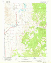
1966 · Junction
USGS Topo · 1:24,000
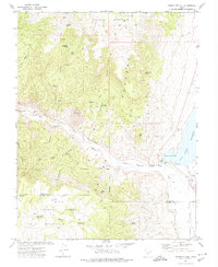
1971 · Phonolite Hill
USGS Topo · 1:24,000