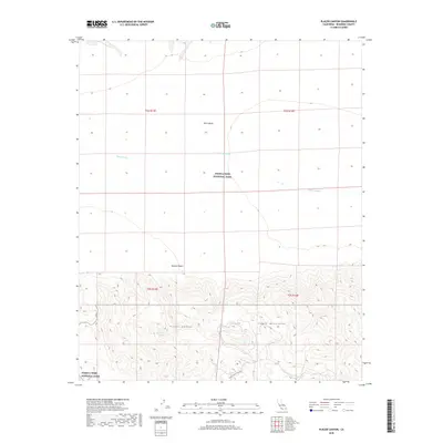
2018 Map of Placer Canyon
USGS Topo · Published 2018About this map
Joshua Tree National Park encompasses a significant portion of this landscape, where the flat expanse of the Pinto Basin meets the uplifted Eagle Mountains. This desert environment is defined by its drainage patterns, most notably the winding Pinto Wash that cuts through the northern sections of the map. In the more varied topography of the south, Placer Canyon provides a natural corridor through the mountains, while the presence of Eagle-Tank Spring marks a rare and vital water source in this corner of the Mojave Desert. Human passage through the region is limited but distinct, centered on the Black Eagle Mine Rd, which tracks the foothills of the range. The map illustrates the sharp contrast between the vast, open basin floor and the complex system of ridges and canyons that dominate the southern half of the quadrangle.
Find a feature on this map
12 named features on this map. Tap any name to fly to it.
Don’t see what you’re looking for? This feature index may not catch every label — zoom into the map to look around manually.
Map Details
Editions of this 2018 Placer Canyon Map
This is the sole edition of this map. No revisions or reprints were ever made.
Other maps of this area

1942 · Amboy
USGS Topo · 1:250,000

1943 · Amboy
USGS Topo · 1:250,000

1943 · Cadiz Valley
USGS Topo · 1:62,500

1943 · Coxcomb Mountains
USGS Topo · 1:62,500

1944 · Eagle Tank
USGS Topo · 1:62,500

1944 · Coxcomb Mountains
USGS Topo · 1:62,500

1954 · Salton Sea
USGS Topo · 1:250,000

1954 · Needles
USGS Topo · 1:250,000

1955 · Salton Sea
USGS Topo · 1:250,000

1956 · Needles
USGS Topo · 1:250,000