
1891 Map of Placerville
USGS Topo · Published 1891About this map
Gold country industrial activity and historic settlements define this late 19th-century landscape in the Sierra foothills. Placerville stands as the primary hub, surrounded by a dense network of mining operations such as the Mammoth Mine, Starlight Mine, and the Gopher Hill Mine. The map highlights the critical role of transportation during this era, showing the path of the Placerville and Sacramento Railroad and various stage stops like the Mile Hill Toll House and Fourteen Mile House.
Find a feature on this map
239 named features on this map. Tap any name to fly to it.
Don’t see what you’re looking for? This feature index may not catch every label — zoom into the map to look around manually.
Map Details
Editions of this 1891 Placerville Map
This is the sole edition of this map. No revisions or reprints were ever made.
Other maps of this area

1888 · Smartsville
USGS Topo · 1:125,000

1889 · Jackson
USGS Topo · 1:125,000

1889 · Pyramid Peak
USGS Topo · 1:125,000

1891 · Sacramento
USGS Topo · 1:125,000

1891 · Colfax
USGS Topo · 1:125,000
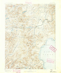
1891 · Truckee
USGS Topo · 1:125,000

1891 · Big Trees
USGS Topo · 1:125,000

1891 · Smartsville
USGS Topo · 1:125,000
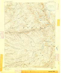
1891 · Pyramid Peak
USGS Topo · 1:125,000

1892 · Jackson
USGS Topo · 1:125,000