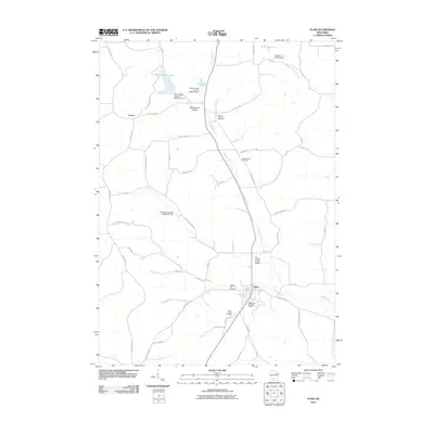
2010 Map of Plain
USGS Topo · Published 2010About this map
The village of Plain sits at the heart of this Sauk County landscape, where the agricultural flats meet the rising terrain of Sugar Grove Valley. The area is defined by the winding course of Honey Creek and its various tributaries, which are managed by a series of regional water control structures like the Plain Honey Creek 3 3WR175 Dam. To the northwest, the settlement of Loreta and the small community of White Mound occupy the higher ground near White Mound Lake. A sense of local heritage is preserved in the numerous burial sites across the township, including Whitemound Cemetery, Pleasant Hill Cemetery, and Saint Lukes Cemetery near the main village. This 2010 survey illustrates a rural Wisconsin community balancing its agrarian roots with recreational developments, such as the Westbrook Hills Golf Course, while maintaining the distinct geographic identities of its named valleys and ridges.
Find a feature on this map
54 named features on this map. Tap any name to fly to it.
Don’t see what you’re looking for? This feature index may not catch every label — zoom into the map to look around manually.
Map Details
Editions of this 2010 Plain Map
This is the sole edition of this map. No revisions or reprints were ever made.
Other maps of this area

1901 · Denzer
USGS Topo · 1:62,500

1905 · Richland Center
USGS Topo · 1:125,000

1920 · Blue Mounds
USGS Topo · 1:62,500

1922 · Blue Mounds
USGS Topo · 1:62,500

1957 · Madison
USGS Topo · 1:250,000

1958 · North Freedom
USGS Topo · 1:62,500

1958 · La Crosse
USGS Topo · 1:250,000

1960 · Madison
USGS Topo · 1:250,000

1960 · Plain
USGS Topo · 1:62,500

1960 · Spring Green
USGS Topo · 1:62,500