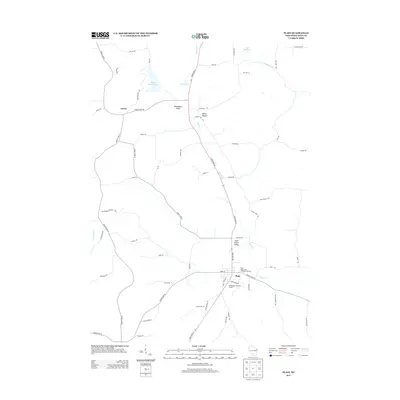
2013 Map of Plain
USGS Topo · Published 2013About this map
The village of Plain serves as the primary hub in this southwestern Sauk County landscape, where the local economy and geography are defined by the winding course of Honey Cr. This 2013 survey illustrates a region where narrow valleys and prominent rises dictate the road network, including the path of State Road 23 as it cuts through Sugar Grove Valley and passes by White Mound. To the northwest, the small settlement of Loreta sits near the headwaters of Little Bear Cr, marking a more secluded part of the county. The landscape is a mix of agricultural utility and recreation, evidenced by the proximity of the Plain Wastewater Treatment Facility to the Westbrook Hills Golf Course. Notable water features such as White Mound Lake and several reservoirs highlight the importance of water management and conservation in this part of Wisconsin.
Find a feature on this map
60 named features on this map. Tap any name to fly to it.
Don’t see what you’re looking for? This feature index may not catch every label — zoom into the map to look around manually.
Map Details
Editions of this 2013 Plain Map
This is the sole edition of this map. No revisions or reprints were ever made.
Other maps of this area

1901 · Denzer
USGS Topo · 1:62,500

1905 · Richland Center
USGS Topo · 1:125,000

1920 · Blue Mounds
USGS Topo · 1:62,500

1922 · Blue Mounds
USGS Topo · 1:62,500

1957 · Madison
USGS Topo · 1:250,000

1958 · North Freedom
USGS Topo · 1:62,500

1958 · La Crosse
USGS Topo · 1:250,000

1960 · Madison
USGS Topo · 1:250,000

1960 · Plain
USGS Topo · 1:62,500

1960 · Spring Green
USGS Topo · 1:62,500