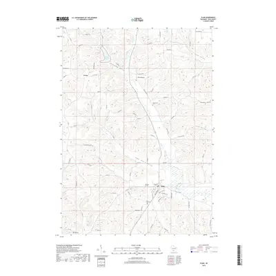
2018 Map of Plain
USGS Topo · Published 2018About this map
Plain sits in the southern portion of this Sauk County landscape, serving as a focal point for the surrounding agricultural and valley networks. The terrain is defined by a series of distinct drainage basins and lowlands, including Sugar Grove Valley, Shannahan Valley, and Big Hollow, which illustrate the complex topography of the Driftless Area. In the north, White Mound Lake and the settlement of White Mound highlight the local water resources, with Honey Cr and its branches carving through the limestone-rich countryside. For those researching local lineages, the map identifies several significant burial sites, including Saint Lukes Cem near Plain and the Whitemound Cem further north. Smaller nodes of settlement like Loreta are connected by a web of county roads and lanes, such as Co Rd GG and Co Rd N, which follow the natural contours of the ridges and valleys.
Find a feature on this map
72 named features on this map. Tap any name to fly to it.
Don’t see what you’re looking for? This feature index may not catch every label — zoom into the map to look around manually.
Map Details
Editions of this 2018 Plain Map
This is the sole edition of this map. No revisions or reprints were ever made.
Other maps of this area

1901 · Denzer
USGS Topo · 1:62,500

1905 · Richland Center
USGS Topo · 1:125,000

1920 · Blue Mounds
USGS Topo · 1:62,500

1922 · Blue Mounds
USGS Topo · 1:62,500

1957 · Madison
USGS Topo · 1:250,000

1958 · North Freedom
USGS Topo · 1:62,500

1958 · La Crosse
USGS Topo · 1:250,000

1960 · Madison
USGS Topo · 1:250,000

1960 · Plain
USGS Topo · 1:62,500

1960 · Spring Green
USGS Topo · 1:62,500