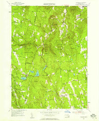
1955 Map of Plainfield
USGS Topo · Published 1958About this map
The town of Plainfield and the village of West Hawley sit at the heart of this high-elevation terrain, where the Berkshire and Franklin county lines meet. The landscape is defined by its deep forest cover and mountain peaks, with large portions preserved within the Hawley State Forest, Savoy State Forest, and Windsor State Forest. Settled areas are concentrated along winding roads such as Windsor Road and Pudding Hollow Road, where smaller landmarks like School No 7 and the Ingraham Cem mark the legacy of rural education and early family settlements.
Find a feature on this map
76 named features on this map. Tap any name to fly to it.
Don’t see what you’re looking for? This feature index may not catch every label — zoom into the map to look around manually.
Map Details
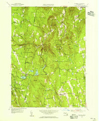
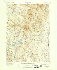
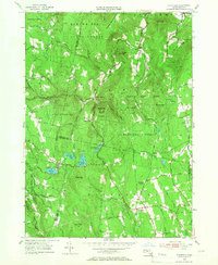
Editions of this 1955 Plainfield Map
4 editions found
Other maps of this area

1886 · Greylock
USGS Topo · 1:62,500

1886 · Hawley
USGS Topo · 1:62,500

1886 · Chesterfield
USGS Topo · 1:62,500

1886 · Becket
USGS Topo · 1:62,500

1888 · Becket
USGS Topo · 1:62,500

1888 · Chesterfield
USGS Topo · 1:62,500

1890 · Hawley
USGS Topo · 1:62,500

1891 · Greylock
USGS Topo · 1:62,500

1893 · Chesterfield
USGS Topo · 1:62,500

1893 · Becket
USGS Topo · 1:62,500