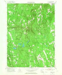
1955 Map of Plainfield
USGS Topo · Published 1966About this map
Plainfield and the neighboring hills of the Berkshires are captured here in a moment defined by state-managed woodlands and quiet crossroads. The landscape is dominated by the vast Hawley State Forest, Savoy State Forest, and Mohawk Trail State Forest, reflecting a mid-century era of conservation and reforestation. Local life is anchored at West Hawley, South Hawley, and the sharp bend of Kings Corner.
Find a feature on this map
54 named features on this map. Tap any name to fly to it.
Don’t see what you’re looking for? This feature index may not catch every label — zoom into the map to look around manually.
Map Details
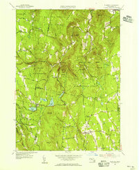
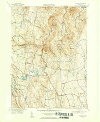
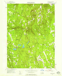
Editions of this 1955 Plainfield Map
4 editions found
Other maps of this area

1886 · Greylock
USGS Topo · 1:62,500

1886 · Hawley
USGS Topo · 1:62,500

1886 · Chesterfield
USGS Topo · 1:62,500

1886 · Becket
USGS Topo · 1:62,500

1888 · Becket
USGS Topo · 1:62,500

1888 · Chesterfield
USGS Topo · 1:62,500

1890 · Hawley
USGS Topo · 1:62,500

1891 · Greylock
USGS Topo · 1:62,500

1893 · Chesterfield
USGS Topo · 1:62,500

1893 · Becket
USGS Topo · 1:62,500