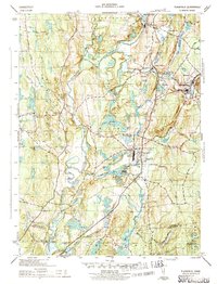
1943 Map of Plainfield
USGS Topo · Published 1943About this map
The Quinebaug River and Moosup River converge in this mid-century portrait of eastern Connecticut, anchoring a landscape defined by riverside textile villages and crossing rail lines. In the community of Plainfield, the grid of industry is evident near Evans Pond, while the New York New Haven and Hartford railroad connects the busy corridors of Wauregan and Moosup. Away from the river valleys, the terrain rises toward Shepherd Hill and Black Hill, where smaller settlements like Packer and Lathrop are situated along winding roads such as Hartford Road. Local genealogy and land use are well-documented through numerous burial grounds, including Plainfield Cem and St Johns Cem, alongside rural educational landmarks like the Frost Sch and Baldwin Sch.
Find a feature on this map
52 named features on this map. Tap any name to fly to it.
Don’t see what you’re looking for? This feature index may not catch every label — zoom into the map to look around manually.
Map Details
Editions of this 1943 Plainfield Map
3 editions found

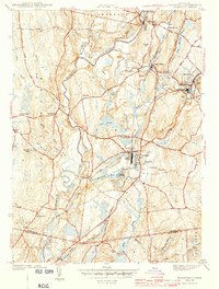
Other maps of this area

1889 · Putnam
USGS Topo · 1:62,500

1889 · Moosup
USGS Topo · 1:62,500

1892 · Woodstock
USGS Topo · 1:62,500

1892 · Norwich
USGS Topo · 1:62,500

1893 · Putnam
USGS Topo · 1:62,500

1893 · Moosup
USGS Topo · 1:62,500

1919 · Putnam
USGS Topo · 1:62,500

1920 · Moosup
USGS Topo · 1:62,500

1921 · Woodstock
USGS Topo · 1:62,500
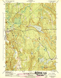
1943 · Voluntown
USGS Topo · 1:31,680