
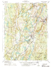
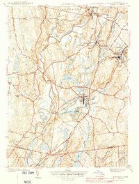
1943 Map of Plainfield
USGS Topo · Published 1943About this map
Industrial and agrarian life in eastern Connecticut converges along the Quinebaug River and Moosup River during the early 1940s. The village of Plainfield serves as a central hub, where the New York New Haven and Hartford railroad tracks intersect the local landscape, connecting smaller settlements like Central Village, Moosup, and Wauregan. This era shows a community defined by its water power and rail access, evidenced by industrial sites like Evergreen Gem and Union Gem located near the riverbanks.
Find a feature on this map
52 named features on this map. Tap any name to fly to it.
Don’t see what you’re looking for? This feature index may not catch every label — zoom into the map to look around manually.
Map Details
Editions of this 1943 Plainfield Map
3 editions found
Other maps of this area

1889 · Putnam
USGS Topo · 1:62,500

1889 · Moosup
USGS Topo · 1:62,500

1892 · Woodstock
USGS Topo · 1:62,500

1892 · Norwich
USGS Topo · 1:62,500

1893 · Putnam
USGS Topo · 1:62,500

1893 · Moosup
USGS Topo · 1:62,500

1919 · Putnam
USGS Topo · 1:62,500

1920 · Moosup
USGS Topo · 1:62,500

1921 · Woodstock
USGS Topo · 1:62,500
1943 · Voluntown
USGS Topo · 1:31,680