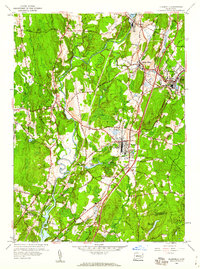
1953 Map of Plainfield
USGS Topo · Published 1960About this map
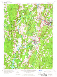
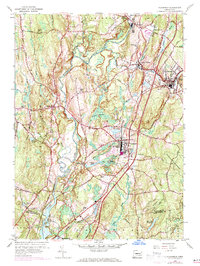
The Quinebaug River and Moosup River dominate the industrial and natural geography of this mid-century Connecticut landscape. In the village of Wauregan, the mill-influenced settlement pattern is evident, supported by the New York New Haven and Hartford RR corridor. The map documents the early suburbanization and leisure culture of the 1950s, notably featuring a Drive-in Theater near the heart of Plainfield.
Find a feature on this map
42 named features on this map. Tap any name to fly to it.
Don’t see what you’re looking for? This feature index may not catch every label — zoom into the map to look around manually.
Map Details
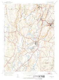
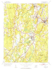
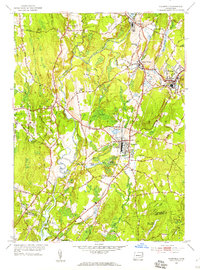
Editions of this 1953 Plainfield Map
6 editions found
Other maps of this area

1889 · Putnam
USGS Topo · 1:62,500

1889 · Moosup
USGS Topo · 1:62,500

1892 · Woodstock
USGS Topo · 1:62,500

1892 · Norwich
USGS Topo · 1:62,500

1893 · Putnam
USGS Topo · 1:62,500

1893 · Moosup
USGS Topo · 1:62,500

1919 · Putnam
USGS Topo · 1:62,500

1920 · Moosup
USGS Topo · 1:62,500

1921 · Woodstock
USGS Topo · 1:62,500
1943 · Voluntown
USGS Topo · 1:31,680