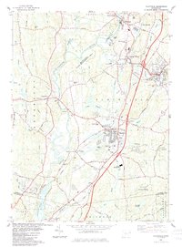
1983 Map of Plainfield
USGS Topo · Published 1983About this map
The Quinebaug River corridors and its industrial tributaries define this 1980s landscape in eastern Connecticut. Industrial and community nodes like Moosup, Central Village, and Wauregan Sta highlight a region built on the proximity of water power and rail transport, with the Conrail line threading through the heart of the valley. Significant public lands are visible, including the Quinebaug State Management Area and parts of the Pachaug State Forest, while local infrastructure is marked by the Plainfield Greyhound Park and several educational sites such as Plainfield High Sch.
Find a feature on this map
82 named features on this map. Tap any name to fly to it.
Don’t see what you’re looking for? This feature index may not catch every label — zoom into the map to look around manually.
Map Details
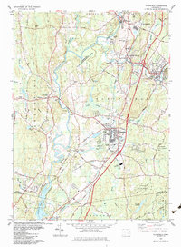
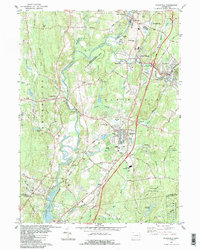
Editions of this 1983 Plainfield Map
3 editions found
Other maps of this area

1889 · Putnam
USGS Topo · 1:62,500

1889 · Moosup
USGS Topo · 1:62,500

1892 · Woodstock
USGS Topo · 1:62,500

1892 · Norwich
USGS Topo · 1:62,500

1893 · Putnam
USGS Topo · 1:62,500

1893 · Moosup
USGS Topo · 1:62,500

1919 · Putnam
USGS Topo · 1:62,500

1920 · Moosup
USGS Topo · 1:62,500

1921 · Woodstock
USGS Topo · 1:62,500
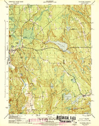
1943 · Voluntown
USGS Topo · 1:31,680