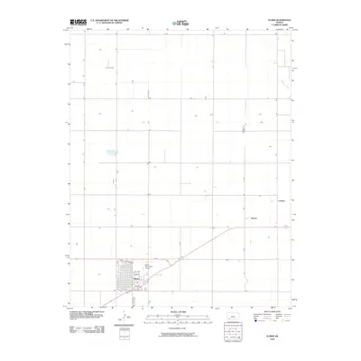
2010 Map of Plains
USGS Topo · Published 2010About this map
Plains stands as the primary hub of activity in this southwestern Kansas landscape, defined by a rigid grid of agricultural roads that stretch across the plains of Meade County. The town layout is clearly delineated, showing residential streets such as Crestview, Greensboro, and Park Ave. This 2010 survey highlights the local infrastructure, including the Plains Municipal Airport situated just north of the main settlement. Further east, the map identifies the locations of Hobart and Collano, which appear as small nodes along the transportation network near Spring Creek. The dominance of named section roads, such as H Rd and 6 Rd, illustrates the methodical division of land for farming and ranching that has characterized this region for generations.
Find a feature on this map
26 named features on this map. Tap any name to fly to it.
Don’t see what you’re looking for? This feature index may not catch every label — zoom into the map to look around manually.
Map Details
Editions of this 2010 Plains Map
This is the sole edition of this map. No revisions or reprints were ever made.
Other maps of this area

1892 · Meade
USGS Topo · 1:125,000

1955 · Dodge City
USGS Topo · 1:250,000

1958 · Dodge City
USGS Topo · 1:250,000

1959 · Dodge City
USGS Topo · 1:250,000

1963 · Plains
USGS Topo · 1:24,000

1963 · Kismet NE
USGS Topo · 1:24,000

1963 · Lake Larrabee
USGS Topo · 1:24,000

1963 · Missler
USGS Topo · 1:24,000

1967 · Plains NE
USGS Topo · 1:24,000

1968 · Plains SW
USGS Topo · 1:24,000