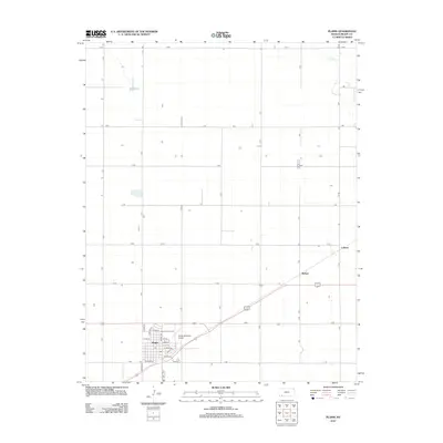
2012 Map of Plains
USGS Topo · Published 2012About this map
The town of Plains anchors this portion of Meade County, characterized by a highly structured grid of section roads that define the rural Kansas landscape. The settlement serves as a local hub with the Po and the Plains Municipal Airport situated on its eastern edge, while the Plains Golf Course provides a distinct community landmark near the residential blocks. Outside the main town site, smaller locales such as Hobart and Collano sit along the primary transit corridor, marking significant points for those tracing the history of local rail or road development. The terrain is largely defined by open expanses, interrupted only by sparse water features like Wildhorse Lake in the northwest and the winding path of Spring Cr in the northeast. This 2012 survey captures the area's modern footprint, from the industrial and residential streets like Grand Ave and Indiana St to the surrounding agricultural grid.
Find a feature on this map
38 named features on this map. Tap any name to fly to it.
Don’t see what you’re looking for? This feature index may not catch every label — zoom into the map to look around manually.
Map Details
Editions of this 2012 Plains Map
This is the sole edition of this map. No revisions or reprints were ever made.
Other maps of this area

1892 · Meade
USGS Topo · 1:125,000

1955 · Dodge City
USGS Topo · 1:250,000

1958 · Dodge City
USGS Topo · 1:250,000

1959 · Dodge City
USGS Topo · 1:250,000

1963 · Plains
USGS Topo · 1:24,000

1963 · Kismet NE
USGS Topo · 1:24,000

1963 · Lake Larrabee
USGS Topo · 1:24,000

1963 · Missler
USGS Topo · 1:24,000

1967 · Plains NE
USGS Topo · 1:24,000

1968 · Plains SW
USGS Topo · 1:24,000