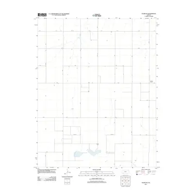
2012 Map of Plains NE
USGS Topo · Published 2012About this map
Wildhorse Lake serves as a prominent natural landmark in this section of the Kansas High Plains, where the terrain is defined by a rigorous grid of section-line roads. This 2012 survey illustrates the systematic division of agricultural land, with named routes like Jj Rd and Kk Rd framing large-scale farming operations. Local history is anchored by the Mertilla Cem, a vital site for genealogical research in this rural expanse. The presence of the Rexford Airport in the northeast and drainage patterns such as Spring Cr highlight the infrastructure and natural hydrology that support the region's economy. The map provides a clear picture of the modern prairie landscape, where traditional landmarks like the cemetery coexist with aviation and established county road networks like Co Road F.
Find a feature on this map
20 named features on this map. Tap any name to fly to it.
Don’t see what you’re looking for? This feature index may not catch every label — zoom into the map to look around manually.
Map Details
Editions of this 2012 Plains NE Map
This is the sole edition of this map. No revisions or reprints were ever made.
Other maps of this area

1892 · Meade
USGS Topo · 1:125,000

1892 · Dodge
USGS Topo · 1:125,000

1896 · Garden
USGS Topo · 1:125,000

1955 · Dodge City
USGS Topo · 1:250,000

1958 · Dodge City
USGS Topo · 1:250,000

1959 · Dodge City
USGS Topo · 1:250,000

1963 · Plains
USGS Topo · 1:24,000

1963 · Missler
USGS Topo · 1:24,000

1967 · Plains NE
USGS Topo · 1:24,000

1968 · Montezuma
USGS Topo · 1:24,000