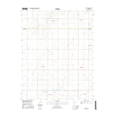
2016 Map of Plains NE
USGS Topo · Published 2016About this map
Mertilla Cem stands as a quiet focal point in this portion of the High Plains, situated just south of the Gray Co Meade Co line. The landscape is defined by a rigorous section-line road grid, including principal routes like Kk Rd and E RD, which service the agricultural holdings throughout several townships. Water is scarce in this arid terrain, with Spring Cr providing one of the few named drainage features in the southern reaches of the quadrangle. The presence of the Rexford Airport in the east signifies the importance of aerial accessibility for this rural Kansas community. Modern infrastructure is balanced by the persistence of established landmarks, reflecting a region where land management remains tied to the historical township and range system.
Find a feature on this map
32 named features on this map. Tap any name to fly to it.
Don’t see what you’re looking for? This feature index may not catch every label — zoom into the map to look around manually.
Map Details
Editions of this 2016 Plains NE Map
This is the sole edition of this map. No revisions or reprints were ever made.
Other maps of this area

1892 · Meade
USGS Topo · 1:125,000

1892 · Dodge
USGS Topo · 1:125,000

1896 · Garden
USGS Topo · 1:125,000

1955 · Dodge City
USGS Topo · 1:250,000

1958 · Dodge City
USGS Topo · 1:250,000

1959 · Dodge City
USGS Topo · 1:250,000

1963 · Plains
USGS Topo · 1:24,000

1963 · Missler
USGS Topo · 1:24,000

1967 · Plains NE
USGS Topo · 1:24,000

1968 · Montezuma
USGS Topo · 1:24,000