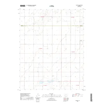
2018 Map of Plains NE
USGS Topo · Published 2018About this map
Gray Co and Meade Co meet in this western Kansas landscape, where the High Plains terrain is defined by a rigid section-line road grid. The southern portion of the map transitions toward the headwaters of Spring Creek, a sparse drainage system that contrasts with the geometric precision of the surrounding agricultural land. Mertilla Cemetery stands as a focal point for genealogical interest, representing the long-standing community roots in this rural area near the county line. Transport in this region is primarily served by a network of county roads including Co Rd 3 and Co Rd 9, which support the local farming economy. The presence of Rexford Airport in the eastern section highlights the continued importance of general aviation for utility and travel across these expansive distances in the early 21st century.
Find a feature on this map
26 named features on this map. Tap any name to fly to it.
Don’t see what you’re looking for? This feature index may not catch every label — zoom into the map to look around manually.
Map Details
Editions of this 2018 Plains NE Map
This is the sole edition of this map. No revisions or reprints were ever made.
Other maps of this area

1892 · Meade
USGS Topo · 1:125,000

1892 · Dodge
USGS Topo · 1:125,000

1896 · Garden
USGS Topo · 1:125,000

1955 · Dodge City
USGS Topo · 1:250,000

1958 · Dodge City
USGS Topo · 1:250,000

1959 · Dodge City
USGS Topo · 1:250,000

1963 · Plains
USGS Topo · 1:24,000

1963 · Missler
USGS Topo · 1:24,000

1967 · Plains NE
USGS Topo · 1:24,000

1968 · Montezuma
USGS Topo · 1:24,000