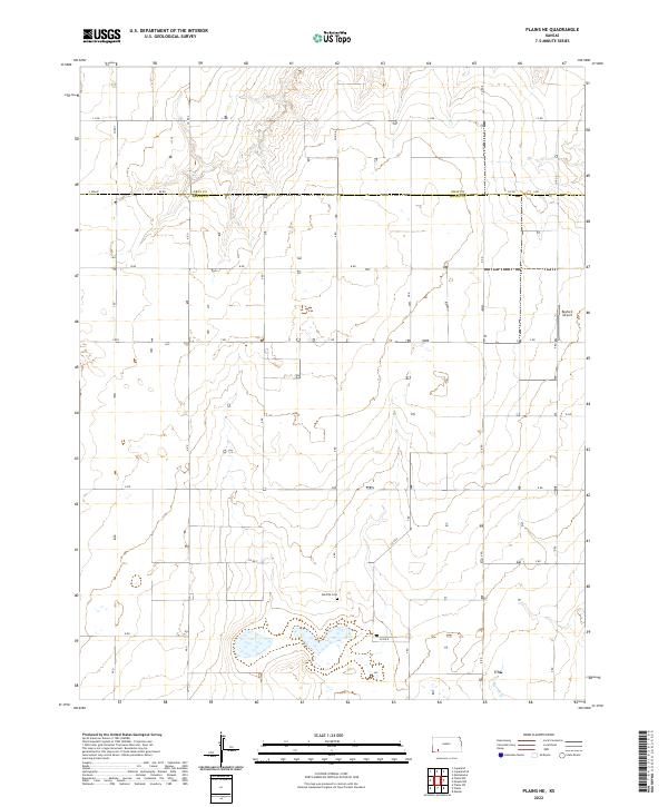
2022 Map of Plains NE
USGS Topo · Published 2022About this map
The county boundary between Gray Co and Meade Co bisects this Kansas landscape, defined by a rigid grid of section roads and agricultural development. The terrain is relatively flat, punctuated by the seasonal waters of Spring Cr in the southeast corner. Local history and genealogy interests center on the Mertilla Cem, which serves as a significant landmark in the southwestern portion of the sheet. Transportation is dominated by rural corridors like Co Rd 6 and Kk Rd, which connect the scattered farmsteads across the plains. In the eastern half of the map, the Rexford Airport provides a small-scale aviation hub, reflecting the area's logistical requirements in a region defined by extensive land holdings and traditional prairie homesteads.
Find a feature on this map
34 named features on this map. Tap any name to fly to it.
Don’t see what you’re looking for? This feature index may not catch every label — zoom into the map to look around manually.
Map Details
Editions of this 2022 Plains NE Map
This is the sole edition of this map. No revisions or reprints were ever made.
Other maps of this area

1892 · Meade
USGS Topo · 1:125,000

1892 · Dodge
USGS Topo · 1:125,000

1896 · Garden
USGS Topo · 1:125,000

1955 · Dodge City
USGS Topo · 1:250,000

1958 · Dodge City
USGS Topo · 1:250,000

1959 · Dodge City
USGS Topo · 1:250,000

1963 · Plains
USGS Topo · 1:24,000

1963 · Missler
USGS Topo · 1:24,000

1967 · Plains NE
USGS Topo · 1:24,000

1968 · Montezuma
USGS Topo · 1:24,000