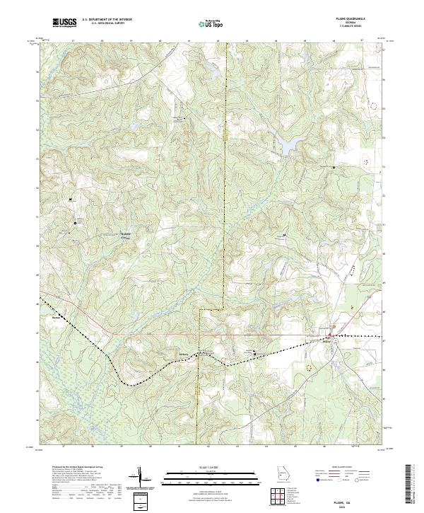
2024 Map of Plains
USGS Topo · Published 2024About this map
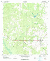
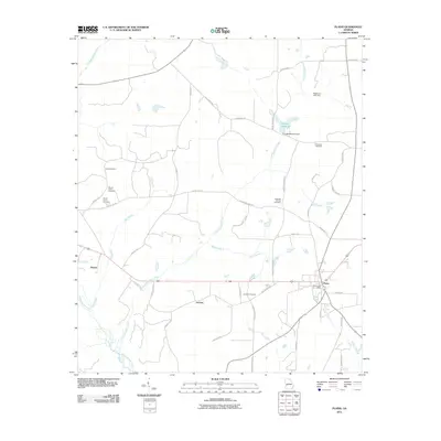
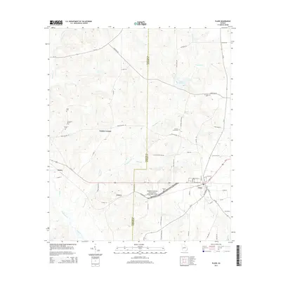
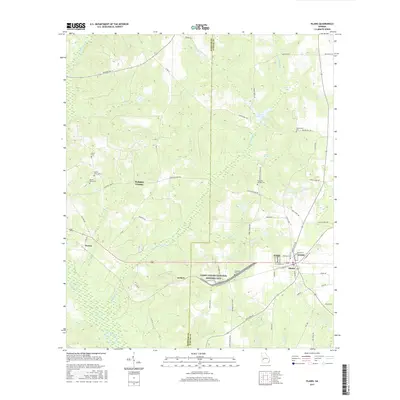
The Jimmy Carter National Historic Site anchors this map, preserving the rural landscape of Sumter and Webster counties. The area around Plains and the smaller settlement of Archery is defined by a dense network of family-named landmarks and country churches. Genealogists will find several burial grounds, including the Redding Family Cem and the Saint Mark African Methodist Episcopal Church Cem. The land is dissected by numerous watercourses such as Kinchafoonee Creek and Choctahatchee Creek, which feed into the wetlands of the coastal plain. Local history is etched into the road names like Youngs Mill Rd and Carter Fishpond Rd, reflecting generations of agricultural and community life. The map also identifies the Saint Mark African Methodist Episcopal Church, a cornerstone of the Archery community.
Find a feature on this map
64 named features on this map. Tap any name to fly to it.
Don’t see what you’re looking for? This feature index may not catch every label — zoom into the map to look around manually.
Map Details
Editions of this 2024 Plains Map
This is the sole edition of this map. No revisions or reprints were ever made.
Historical Maps of Plains Through Time
6 maps found