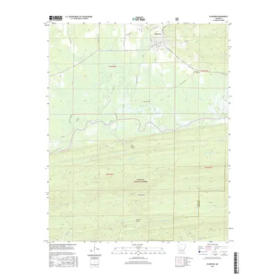
2017 Map of Plainview
USGS Topo · Published 2017About this map
Plainview serves as the primary hub in this portion of Yell County, situated just north of the expansive Nimrod Lake. The landscape transition is marked by the rugged elevation of Fourche Mtn and the dense timberlands of the Ouachita National Forest. Local history is preserved through small, family or community burial grounds such as Barnett Chapel Cem, Sunlight Cem, and Hogan Cem, which are tucked away near watercourses like Wilson Slough and Hogan Cr. The map details a complex network of rural infrastructure, including River Rd and Sunlight Bay Rd, which navigate the drainages of Danville Cr and the deep relief of Long Hollow. This documentation provides a clear view of the boundary between the cultivated valley lands and the protected mountain wilderness.
Find a feature on this map
60 named features on this map. Tap any name to fly to it.
Don’t see what you’re looking for? This feature index may not catch every label — zoom into the map to look around manually.
Map Details
Editions of this 2017 Plainview Map
This is the sole edition of this map. No revisions or reprints were ever made.
Other maps of this area

1888 · Dardanelle #4
USGS Topo · 1:62,500

1888 · Dardanelle #3
USGS Topo · 1:62,500

1890 · Hot Springs
USGS Topo · 1:125,000

1890 · Dardanelle
USGS Topo · 1:125,000

1894 · Hot Springs
USGS Topo · 1:125,000

1955 · Little Rock
USGS Topo · 1:250,000

1956 · Little Rock
USGS Topo · 1:250,000

1956 · Russellville
USGS Topo · 1:250,000

1960 · Little Rock
USGS Topo · 1:250,000

1964 · Russellville
USGS Topo · 1:250,000