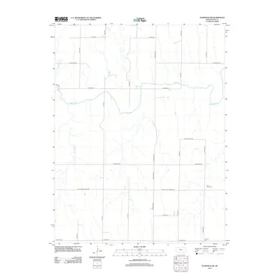
2012 Map of Plainville SW
USGS Topo · Published 2012About this map
The Saline River meanders across this rural Ellis County landscape, creating a distinct hydrological corridor defined by several small tributaries including Tomcat Cr and E Spring Cr. The region is organized by a strict sectional grid of gravel and paved roads that reflect the late-20th-century agricultural layout of north-central Kansas. For those tracing local history, the map preserves the locations of vital community anchors such as Saint Andrew Cem, situated near Saint John St Andrew Rd, and Hyacinth Cem at the southern edge. The naming of thoroughfares like Sleepy Hollow Rd and Severin Rd hints at the historic farmsteads and rural neighborhoods that have shaped this portion of the Kansas plains since the early days of settlement.
Find a feature on this map
21 named features on this map. Tap any name to fly to it.
Don’t see what you’re looking for? This feature index may not catch every label — zoom into the map to look around manually.
Map Details
Editions of this 2012 Plainville SW Map
This is the sole edition of this map. No revisions or reprints were ever made.
Other maps of this area

1893 · Ellis
USGS Topo · 1:125,000

1893 · Hill
USGS Topo · 1:125,000

1896 · Hays
USGS Topo · 1:125,000

1896 · Plainville
USGS Topo · 1:125,000

1955 · Great Bend
USGS Topo · 1:250,000

1955 · Beloit
USGS Topo · 1:250,000

1957 · Great Bend
USGS Topo · 1:250,000

1958 · Great Bend
USGS Topo · 1:250,000

1959 · Beloit
USGS Topo · 1:250,000

1961 · Yocemento
USGS Topo · 1:24,000