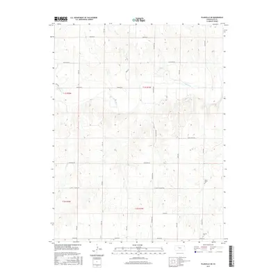
2015 Map of Plainville SW
USGS Topo · Published 2015About this map
The Saline River cuts through this portion of Ellis County, shaping a landscape defined by deeply incised drainages and high plains plateaus. In the northern reaches, Tomcat Cr and E Spring Cr feed into the river system, while a rigid grid of section roads like Yocemento Ave and Buckeye Rd imposes human order on the rolling terrain. For those tracing local heritage, the presence of the Saint Andrew Cem and Hyacinth Cem indicates the proximity of rural parish communities that have long anchored this agricultural region. Transportation corridors such as St John - St Andrew Rd and Sleepy Hollow Rd connect these landmarks to the broader county network, reflecting the enduring rural character of western Kansas during the early twenty-first century.
Find a feature on this map
25 named features on this map. Tap any name to fly to it.
Don’t see what you’re looking for? This feature index may not catch every label — zoom into the map to look around manually.
Map Details
Editions of this 2015 Plainville SW Map
This is the sole edition of this map. No revisions or reprints were ever made.
Other maps of this area

1893 · Ellis
USGS Topo · 1:125,000

1893 · Hill
USGS Topo · 1:125,000

1896 · Hays
USGS Topo · 1:125,000

1896 · Plainville
USGS Topo · 1:125,000

1955 · Great Bend
USGS Topo · 1:250,000

1955 · Beloit
USGS Topo · 1:250,000

1957 · Great Bend
USGS Topo · 1:250,000

1958 · Great Bend
USGS Topo · 1:250,000

1959 · Beloit
USGS Topo · 1:250,000

1961 · Yocemento
USGS Topo · 1:24,000