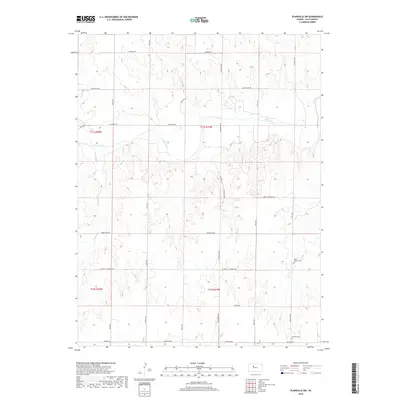
2018 Map of Plainville SW
USGS Topo · Published 2018About this map
The Saline River cuts through the northern landscape of Ellis County, shaping a terrain of drainage coulees and draws including Tomcat Cr and E Spring Cr. This agricultural region is defined by a rigorous section-line road grid, with routes like Mendota Rd and Buckeye Rd framing the rural townships. Genealogy and local history are anchored by two prominent burial grounds located in the southeastern quadrant: Saint Andrew Cem and Hyacinth Cem. The placement of these cemeteries alongside St John - St Andrew Rd suggests the enduring communal centers of this plains environment. Settlement patterns here remain deeply tied to the land's hydrology and the established township boundaries of T11S and T12S, reflecting the late 20th and early 21st-century agricultural continuity of western Kansas.
Find a feature on this map
25 named features on this map. Tap any name to fly to it.
Don’t see what you’re looking for? This feature index may not catch every label — zoom into the map to look around manually.
Map Details
Editions of this 2018 Plainville SW Map
This is the sole edition of this map. No revisions or reprints were ever made.
Other maps of this area

1893 · Ellis
USGS Topo · 1:125,000

1893 · Hill
USGS Topo · 1:125,000

1896 · Hays
USGS Topo · 1:125,000

1896 · Plainville
USGS Topo · 1:125,000

1955 · Great Bend
USGS Topo · 1:250,000

1955 · Beloit
USGS Topo · 1:250,000

1957 · Great Bend
USGS Topo · 1:250,000

1958 · Great Bend
USGS Topo · 1:250,000

1959 · Beloit
USGS Topo · 1:250,000

1961 · Yocemento
USGS Topo · 1:24,000