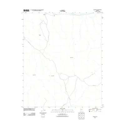
2011 Map of Planet
USGS Topo · Published 2011About this map
The Bill Williams River defines the northern edge of this arid landscape, where the settlement of Planet and the Planet Ranch sit within the river valley. This map highlights a transition from the riparian corridor into a series of interior summits, including Tunnel Peak and Planet Peak. Industrial history is evidenced by the presence of a Retort Oven, located away from the primary water sources. A network of primitive roads, such as the Swansea Rd and the Swansea Cutoff Rd, connect the river settlements to the surrounding peaks and washes. The geography is characterized by deep drainage systems like Mineral Wash, reflecting the complex hydrology of the western Arizona desert.
Find a feature on this map
14 named features on this map. Tap any name to fly to it.
Don’t see what you’re looking for? This feature index may not catch every label — zoom into the map to look around manually.
Map Details
Editions of this 2011 Planet Map
This is the sole edition of this map. No revisions or reprints were ever made.
Other maps of this area

1911 · Parker
USGS Topo · 1:125,000

1923 · Signal
USGS Topo · 1:250,000

1942 · Signal
USGS Topo · 1:250,000

1943 · Giers Basin
USGS Topo · 1:62,500

1950 · Prescott
USGS Topo · 1:250,000

1954 · Needles
USGS Topo · 1:250,000

1954 · Prescott
USGS Topo · 1:250,000

1956 · Needles
USGS Topo · 1:250,000

1958 · Prescott
USGS Topo · 1:250,000

1959 · Prescott
USGS Topo · 1:250,000