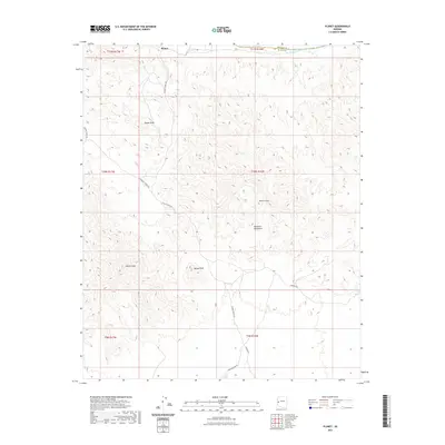
2021 Map of Planet
USGS Topo · Published 2021About this map
The settlement of Planet anchors this desert landscape in La Paz County, situated near the winding course of the Bill Williams River along the border with Mohave County. This 2021 survey details a rugged mining and ranching corridor defined by the Buckskin Mountains, where topography reaches prominent heights at Planet Peak and Squaw Peak. The naming of local infrastructure, such as Swansea Rd, Swansea-Mine Rd, and the Swansea Cutoff Rd, points to the region's industrial heritage and its connection to nearby mineral operations. Notable landmarks like the Retort Oven and Tunnel Peak offer specific points of interest for those studying the physical remnants of the area's extraction history. Remote access is traced through a network of unpaved routes including Planet Ranch Rd and Mineral Wash Rd, which navigate the complex elevation changes of the western Arizona desert.
Find a feature on this map
19 named features on this map. Tap any name to fly to it.
Don’t see what you’re looking for? This feature index may not catch every label — zoom into the map to look around manually.
Map Details
Editions of this 2021 Planet Map
This is the sole edition of this map. No revisions or reprints were ever made.
Other maps of this area
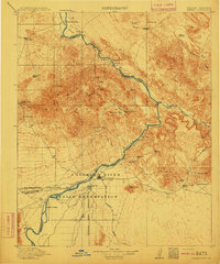
1911 · Parker
USGS Topo · 1:125,000
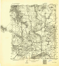
1923 · Signal
USGS Topo · 1:250,000
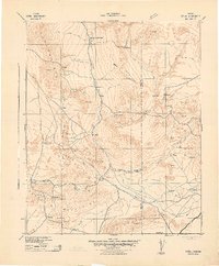
1942 · Signal
USGS Topo · 1:250,000
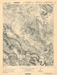
1943 · Giers Basin
USGS Topo · 1:62,500
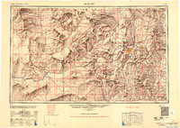
1950 · Prescott
USGS Topo · 1:250,000
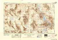
1954 · Needles
USGS Topo · 1:250,000
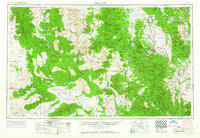
1954 · Prescott
USGS Topo · 1:250,000
1956 · Needles
USGS Topo · 1:250,000
1958 · Prescott
USGS Topo · 1:250,000
1959 · Prescott
USGS Topo · 1:250,000