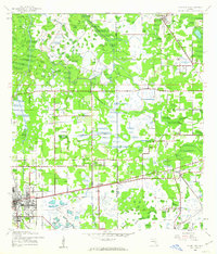
1964 Map of Plant City
USGS Topo · Published 1964About this map
The Gulf Coast of Florida is dominated by a complex network of coastal islands and marshy bays in this mid-century survey. Inland from Gulf of Mexico, the landscape transitions from the protected waters of Chassahowitzka National Wildlife Refuge to the agricultural and rail hubs of Tampa and Plant City. The presence of the Atlantic Coast Line and Seaboard Air Line railroads highlights the vital transportation corridors that fueled the growth of central Florida's settlements. Along the shoreline, markers like the Anclote Keys Lighthouse and the Anclote National Wildlife Refuge denote a coastline still largely defined by its natural state, while the spread of communities like Tarpon Springs, New Port Richey, and Zephyrhills shows the steady expansion of the region's suburban and industrial footprint before the massive developments of the late 20th century.
Find a feature on this map
62 named features on this map. Tap any name to fly to it.
Don’t see what you’re looking for? This feature index may not catch every label — zoom into the map to look around manually.
Map Details
Editions of this 1964 Plant City Map
This is the sole edition of this map. No revisions or reprints were ever made.
Historical Maps of Oxford Oaks Through Time
4 maps found