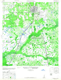
1944 Map of Plant City
USGS Topo · Published 1963About this map
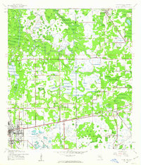
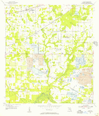
Plant City anchors the southwestern corner of this mid-century survey, a landscape defined by the intersection of the Atlantic Coast Line and Seaboard Air Line railroads. The map reveals a transition from the developing urban grid of the city to the expansive marshlands of Wiggins Prairie and the winding course of Itchepackesassa Creek. Local life is recorded through a network of rural hubs such as Youmans and Midway, alongside numerous spiritual centers including Enon Church and New Hope Ch.
Find a feature on this map
23 named features on this map. Tap any name to fly to it.
Don’t see what you’re looking for? This feature index may not catch every label — zoom into the map to look around manually.
Map Details
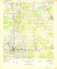
Editions of this 1944 Plant City Map
2 editions found
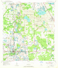
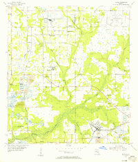
Other maps of this area

1944 · Plant City
USGS Topo · 1:31,680
1944 · Providence
USGS Topo · 1:31,680

1944 · Lakeland
USGS Topo · 1:31,680
1944 · Antioch
USGS Topo · 1:31,680
1944 · Socrum
USGS Topo · 1:31,680
1947 · Zephyrhills
USGS Topo · 1:24,000
1949 · Mulberry
USGS Topo · 1:24,000
1950 · Mulberry
USGS Topo · 1:24,000
1955 · Nichols
USGS Topo · 1:24,000
1955 · Dover
USGS Topo · 1:24,000