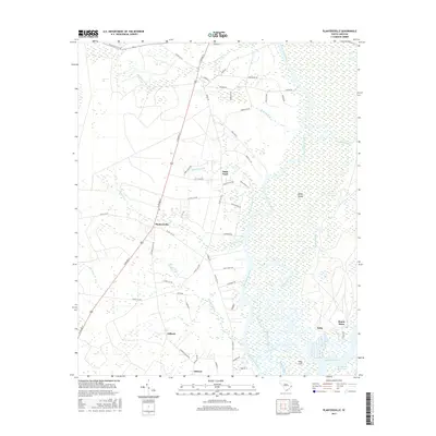
2017 Map of Plantersville
USGS Topo · Published 2017About this map
The Great Pee Dee River and Waccamaw River dominate this coastal landscape, shaping the boundaries of Sandy Island and the surrounding lowlands. The 2017 survey details the historic community of Plantersville and several nearby settlements including Saint Pauls, Gilliard, and Jackson. These hamlets are connected by a network of local roads such as N Fraser St and Ford Village RD, which reflect a centuries-old settlement pattern rooted in the river-based economy of Georgetown County.
Find a feature on this map
66 named features on this map. Tap any name to fly to it.
Don’t see what you’re looking for? This feature index may not catch every label — zoom into the map to look around manually.
Map Details
Editions of this 2017 Plantersville Map
This is the sole edition of this map. No revisions or reprints were ever made.
Other maps of this area

1942 · Magnolia Beach
USGS Topo · 1:24,000

1942 · Waverly Mills
USGS Topo · 1:24,000

1943 · Yauhannah
USGS Topo · 1:24,000

1943 · Bucksville
USGS Topo · 1:24,000

1943 · Carvers Bay
USGS Topo · 1:24,000

1943 · Brookgreen
USGS Topo · 1:24,000

1943 · Plantersville
USGS Topo · 1:24,000

1943 · Georgetown North
USGS Topo · 1:24,000

1943 · Outland
USGS Topo · 1:24,000

1944 · Outland
USGS Topo · 1:31,680