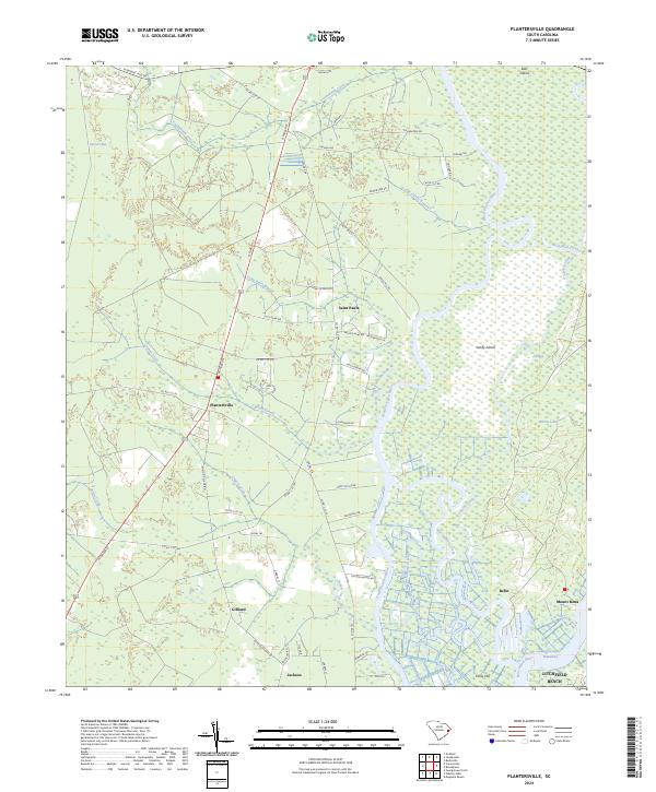
2024 Map of Plantersville
USGS Topo · Published 2024About this map
Plantersville and Saint Pauls anchor a landscape defined by the winding course of the Great Pee Dee River and the expansive protected lands of the Waccamaw National Wildlife Refuge. This Lowcountry terrain is a complex network of blackwater streams and coastal marshes, where features like Sandy Island and Bull Island rise among the river's many branches, including Thoroughfare Creek and Guadaloupe Creek. The presence of numerous small settlements such as Gilliard, Jackson, and Belin suggests a long-standing pattern of rural residency along the edge of the wetlands.
Find a feature on this map
68 named features on this map. Tap any name to fly to it.
Don’t see what you’re looking for? This feature index may not catch every label — zoom into the map to look around manually.
Map Details
Editions of this 2024 Plantersville Map
This is the sole edition of this map. No revisions or reprints were ever made.
Other maps of this area

1942 · Magnolia Beach
USGS Topo · 1:24,000

1942 · Waverly Mills
USGS Topo · 1:24,000

1943 · Yauhannah
USGS Topo · 1:24,000

1943 · Bucksville
USGS Topo · 1:24,000

1943 · Carvers Bay
USGS Topo · 1:24,000

1943 · Brookgreen
USGS Topo · 1:24,000

1943 · Plantersville
USGS Topo · 1:24,000

1943 · Georgetown North
USGS Topo · 1:24,000

1943 · Outland
USGS Topo · 1:24,000

1944 · Outland
USGS Topo · 1:31,680