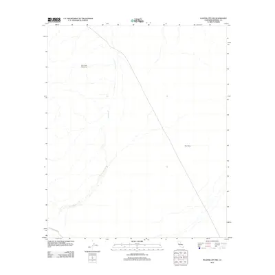
2012 Map of Plaster City NW
USGS Topo · Published 2012About this map
The Old Overland Stage Rte traces a historic path across the arid floor of the Imperial County desert, cutting a diagonal line across the southwest corner of this 2012 survey. This ancient transportation corridor is flanked by the rising slopes of the Fish Creek Mountains to the northwest and the expansive West Mesa to the east. The drainage of Carrizo Wash meanders through the central landscape, defining the hydrologic character of this remote basin. The map reveals the stark isolation of the area, where historical travel routes were dictated by the natural topography of the Colorado Desert. Researchers of early California transit will find the alignment of the stage route particularly significant as it navigates the transition between the mountain foothills and the open desert flats.
Find a feature on this map
4 named features on this map. Tap any name to fly to it.
Don’t see what you’re looking for? This feature index may not catch every label — zoom into the map to look around manually.
Map Details
Editions of this 2012 Plaster City NW Map
This is the sole edition of this map. No revisions or reprints were ever made.
Other maps of this area

1915 · El Centro
USGS Topo · 1:125,000

1931 · Vallecito
USGS Topo · 1:125,000

1931 · Carrizo
USGS Topo · 1:125,000

1940 · Kane Spring
USGS Topo · 1:62,500

1940 · Plaster City
USGS Topo · 1:62,500

1942 · Barrel Spring
USGS Topo · 1:62,500

1942 · El Centro
USGS Topo · 1:250,000

1942 · Carrizo Mtn
USGS Topo · 1:62,500

1943 · Vallecito
USGS Topo · 1:125,000

1944 · Plaster City
USGS Topo · 1:62,500